UN/LOCODE hub · Indonesia
IDLBM

Lobam

1.0000°, 104.2667°
2
Transport functions

Transport Functions

Port
Road
UN/LOCODE

Location

Location of IDLBM
Natural Earth 10m (public domain) · Kepulauan Riau · IDLBM · 1.00, 104.27GoogleOSMYandex

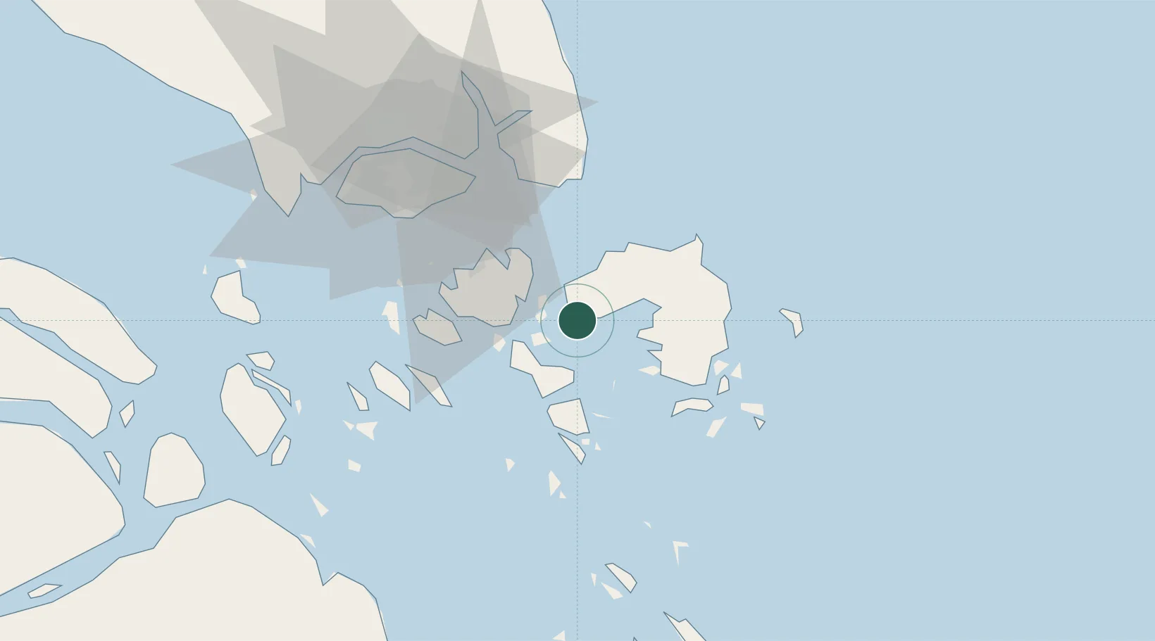
Nearby Logistics Neighbours

Cities
  1. 1Tanjunguban7 km
  2. 2Tanjungpinang22 km
  3. 3Batam Island33 km
  4. 4Batu Ampar35 km
  5. 5Sekupang40 km
Nearest neighbours — logibook spatial index (haversine) over the source coordinates
Ports
  1. 1Tanjunguban9 km
  2. 2Tanjungpinang22 km
  3. 3Kijang41 km
  4. 4Sekupang42 km
  5. 5Pulau Sambu45 km
Nearest neighbours — logibook spatial index (haversine) over the source coordinates
Airports
  1. 1Hang Nadim International Airport21 km
  2. 2Raja Haji Fisabilillah International Airport31 km
  3. 3Changi Air Base (East)48 km
  4. 4Singapore Changi Airport49 km
  5. 5Paya Lebar Air Base56 km
Nearest neighbours — logibook spatial index (haversine) over the source coordinates
Trade Zones
  1. 1Bintan Industrial Estate1 km
  2. 2Kabil Integrated Industrial Estate (KIIE)19 km
  3. 3Taiwan International Industrial Estate20 km
  4. 4Batam-Bintan-Karimun Free Trade Zone25 km
  5. 5Sarana Industrial Point25 km
Nearest neighbours — logibook spatial index (haversine) over the source coordinates
DatabookThe Record of Consolidated Knowledge
Indonesia beyond logistics?
Browse databook

All Sources

LocationsUN/LOCODE
UN/LOCODE — free
Portsthe NGA World Port Index
Public domain (US gov)
AirportsOurAirports
Public domain
Trade Zonesthe World Bank SEZ database
CC BY 4.0
Trade ZonesOpen Zone Map
CC BY
← Indonesia locations