Diversified Zone · Indonesia

Tunas Industrial Estate 2 Active
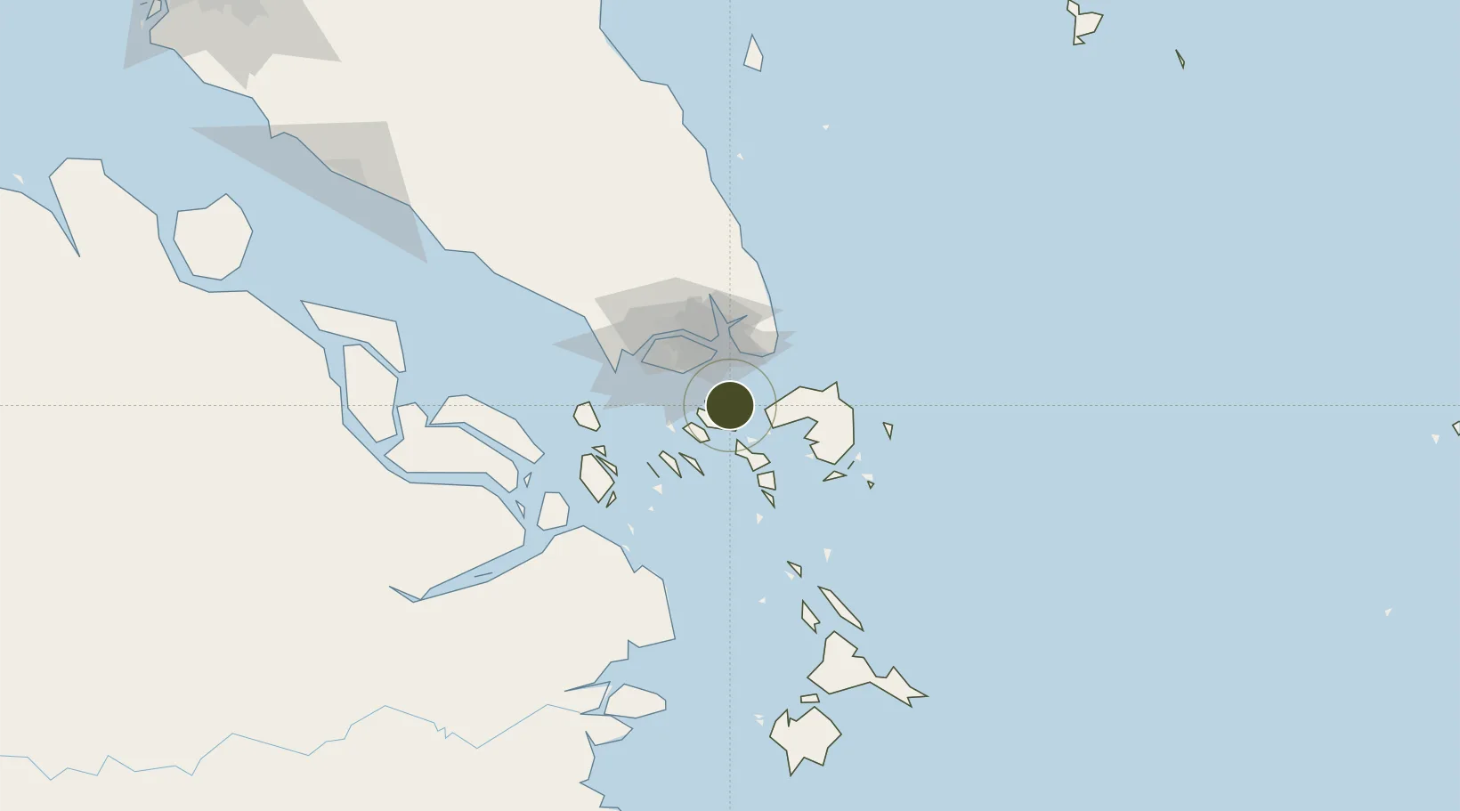
1.1129°, 104.0650°
64 ha
Zone area
16.7 km
Nearest port
6.1 km
Nearest airport

Gateway access

Nearest neighbours — logibook spatial index (haversine) over the source coordinates

Zone profile

Zone type
Diversified Zone
Open Zone Map
Region
Kepulauan Riau
Open Zone Map
Status
Active
Open Zone Map
Management
Public-Private Partnership
Open Zone Map
Operator
PT. Tritunas Bangun Perkasa
Open Zone Map
Legal framework
The Law No 3. Article 106, issued in 2014
Open Zone Map

Location

Location of ozm-2335
Natural Earth 10m (public domain) · Kepulauan Riau · ozm-2335 · 1.11, 104.07GoogleOSMYandex

Nearby Logistics Neighbours

Ports
  1. 1Sekupang17 km
  2. 2Tanjunguban18 km
  3. 3Pulau Sambu19 km
  4. 4Keppel - (East Singapore)31 km
  5. 5Pulau Sebarok31 km
Nearest neighbours — logibook spatial index (haversine) over the source coordinates
Airports
  1. 1Hang Nadim International Airport6 km
  2. 2Changi Air Base (East)27 km
  3. 3Singapore Changi Airport28 km
  4. 4Paya Lebar Air Base33 km
  5. 5Seletar Airport40 km
Nearest neighbours — logibook spatial index (haversine) over the source coordinates
Cities
  1. 1Batam Island8 km
  2. 2Batu Ampar10 km
  3. 3Sekupang15 km
  4. 4Tanjunguban20 km
  5. 5Changi24 km
Nearest neighbours — logibook spatial index (haversine) over the source coordinates
Trade Zones
  1. 1Sarana Industrial Point1 km
  2. 2Batam-Bintan-Karimun Free Trade Zone1 km
  3. 3Puri Industrial Park 20001 km
  4. 4Cammo Industrial Park2 km
  5. 5Citra Buana Centre Park III4 km
Nearest neighbours — logibook spatial index (haversine) over the source coordinates
DatabookThe Record of Consolidated Knowledge
Indonesia beyond logistics?
Browse databook

All Sources

Trade ZonesOpen Zone Map
CC BY
Portsthe NGA World Port Index
Public domain (US gov)
AirportsOurAirports
Public domain
LocationsUN/LOCODE
UN/LOCODE — free
← Indonesia trade zones