UN/LOCODE hub · Indonesia
IDBUR

Batu Ampar

1.1832°, 104.0100°
2
Transport functions

Transport Functions

Port
Road
UN/LOCODE

Hub Profile

Place type
Populated place
GeoNames
Region
Riau Islands
GeoNames
Time zone
Asia/Jakarta
GeoNames
Elevation
5 m
GeoNames
Logistics facilities
1
UN/LOCODE

Location

Location of IDBUR
Natural Earth 10m (public domain) · Riau Islands · IDBUR · 1.18, 104.01GoogleOSMYandex

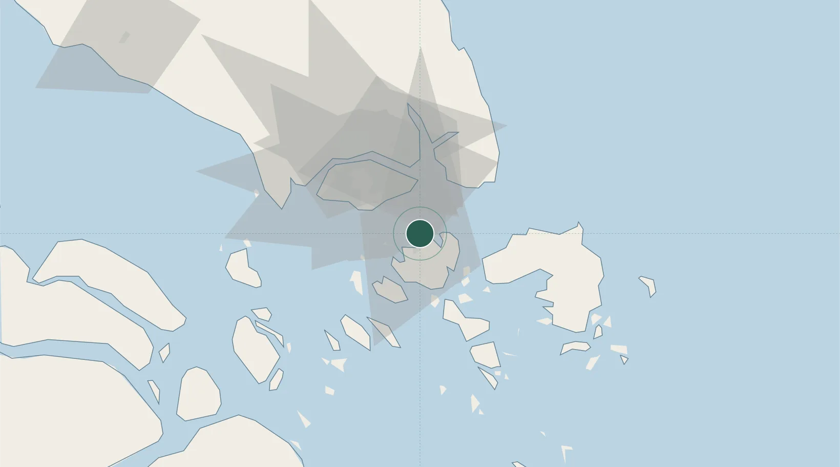
Nearby Logistics Neighbours

Cities
  1. 1Batam Island4 km
  2. 2Sekupang10 km
  3. 3Changi15 km
  4. 4Choa Chu Kang21 km
  5. 5Clementi21 km
Nearest neighbours — logibook spatial index (haversine) over the source coordinates
Ports
  1. 1Sekupang12 km
  2. 2Pulau Sambu12 km
  3. 3Keppel - (East Singapore)21 km
  4. 4Pulau Sebarok23 km
  5. 5Tanjunguban26 km
Nearest neighbours — logibook spatial index (haversine) over the source coordinates
Airports
  1. 1Hang Nadim International Airport14 km
  2. 2Changi Air Base (East)18 km
  3. 3Singapore Changi Airport19 km
  4. 4Paya Lebar Air Base23 km
  5. 5Seletar Airport30 km
Nearest neighbours — logibook spatial index (haversine) over the source coordinates
Trade Zones
  1. 1Union Industrial Park2 km
  2. 2Bintang Industrial Park2 km
  3. 3Citra Buana Centre Park Ii3 km
  4. 4Citra Buana Centre Park I4 km
  5. 5Citra Buana Centre Park III9 km
Nearest neighbours — logibook spatial index (haversine) over the source coordinates
DatabookThe Record of Consolidated Knowledge
Indonesia beyond logistics?
Browse databook

All Sources

LocationsUN/LOCODE
UN/LOCODE — free
Portsthe NGA World Port Index
Public domain (US gov)
AirportsOurAirports
Public domain
Trade Zonesthe World Bank SEZ database
CC BY 4.0
Trade ZonesOpen Zone Map
CC BY
← Indonesia locations