UN/LOCODE hub · India
INSAC

Sachin (Surat)

21.0848°, 72.8660°
1
Transport functions

Transport Functions

Multimodal
UN/LOCODE

Hub Profile

Region
GJ
GeoNames
Logistics facilities
1
UN/LOCODE

Location

Location of INSAC
Natural Earth 10m (public domain) · GJ · INSAC · 21.08, 72.87GoogleOSMYandex

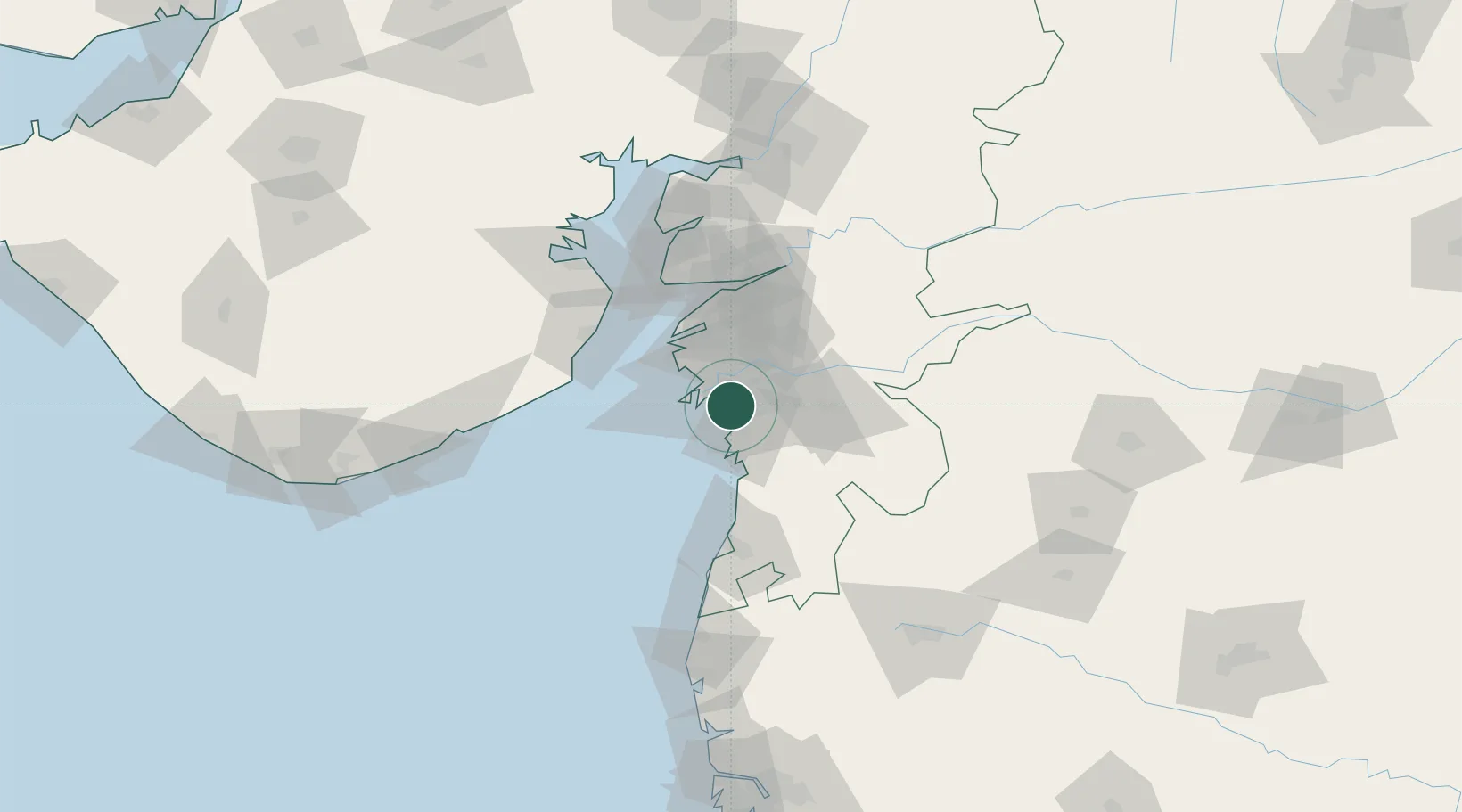
Nearby Logistics Neighbours

Cities
  1. 1SHB ICD/Surat9 km
  2. 2Sap-SEZ/Surat10 km
  3. 3Ghb-SEZ/Surat10 km
  4. 4Kril ICD20 km
  5. 5Hazira Port/Surat23 km
Nearest neighbours — logibook spatial index (haversine) over the source coordinates
Ports
  1. 1Magdalla14 km
  2. 2Hazira24 km
  3. 3Dahej77 km
  4. 4Bhavnagar100 km
  5. 5Pipavav Bandar141 km
Nearest neighbours — logibook spatial index (haversine) over the source coordinates
Airports
  1. 1Surat International Airport13 km
  2. 2Daman Airport72 km
  3. 3Bhavnagar Airport102 km
  4. 4Vadodara International Airport144 km
  5. 5Nashik International Airport153 km
Nearest neighbours — logibook spatial index (haversine) over the source coordinates
Trade Zones
  1. 1Surat Special Economic Zone0 km
  2. 2Surat Apparel Park3 km
  3. 3Gujarat Hira Bourse18 km
  4. 4HBS Pharma SEZ Private Limited, Bharuch51 km
  5. 5Dahej SEZ Ltd.76 km
Nearest neighbours — logibook spatial index (haversine) over the source coordinates
DatabookThe Record of Consolidated Knowledge
India beyond logistics?
Browse databook

All Sources

LocationsUN/LOCODE
UN/LOCODE — free
Portsthe NGA World Port Index
Public domain (US gov)
AirportsOurAirports
Public domain
Trade Zonesthe World Bank SEZ database
CC BY 4.0
Trade ZonesOpen Zone Map
CC BY
← India locations