UN/LOCODE hub · India
INUDN

Ghb-SEZ/Surat

21.1667°, 72.8333°
1
Transport functions

Transport Functions

Multimodal
UN/LOCODE

Hub Profile

Region
GJ
GeoNames

Location

Location of INUDN
Natural Earth 10m (public domain) · GJ · INUDN · 21.17, 72.83GoogleOSMYandex

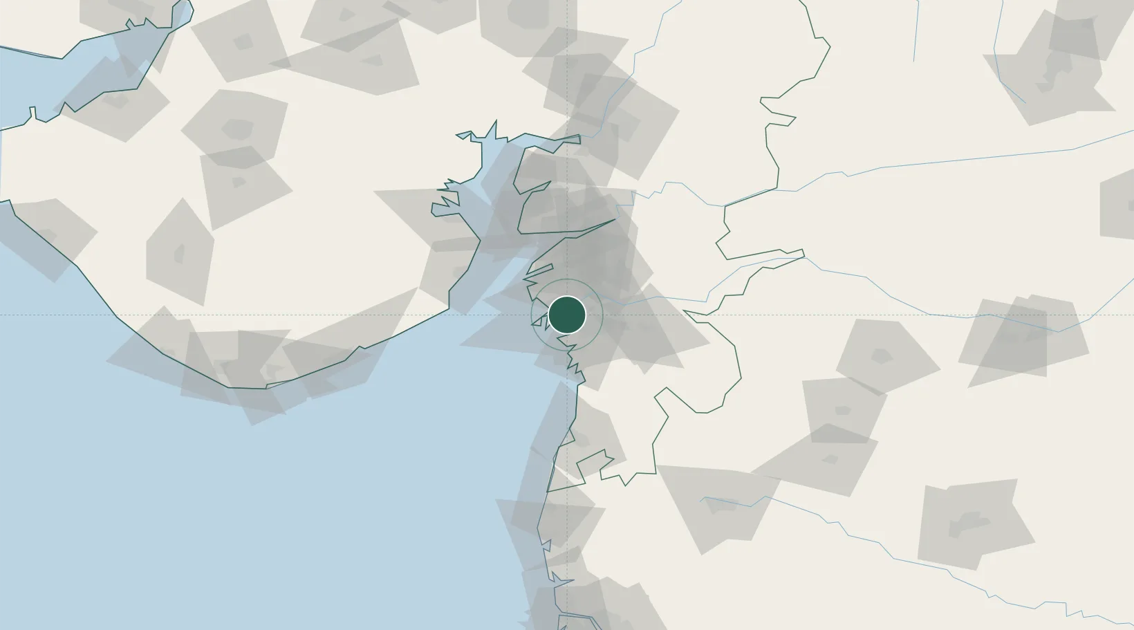
Nearby Logistics Neighbours

Cities
  1. 1Sap-SEZ/Surat0 km
  2. 2SHB ICD/Surat3 km
  3. 3Sachin (Surat)10 km
  4. 4Kril ICD14 km
  5. 5Surat19 km
Nearest neighbours — logibook spatial index (haversine) over the source coordinates
Ports
  1. 1Magdalla9 km
  2. 2Hazira23 km
  3. 3Dahej67 km
  4. 4Bhavnagar91 km
  5. 5Pipavav Bandar139 km
Nearest neighbours — logibook spatial index (haversine) over the source coordinates
Airports
  1. 1Surat International Airport11 km
  2. 2Daman Airport81 km
  3. 3Bhavnagar Airport94 km
  4. 4Vadodara International Airport136 km
  5. 5Nashik International Airport162 km
Nearest neighbours — logibook spatial index (haversine) over the source coordinates
Trade Zones
  1. 1Surat Special Economic Zone10 km
  2. 2Gujarat Hira Bourse10 km
  3. 3Surat Apparel Park11 km
  4. 4HBS Pharma SEZ Private Limited, Bharuch43 km
  5. 5Dahej SEZ Ltd.66 km
Nearest neighbours — logibook spatial index (haversine) over the source coordinates
DatabookThe Record of Consolidated Knowledge
India beyond logistics?
Browse databook

All Sources

LocationsUN/LOCODE
UN/LOCODE — free
Portsthe NGA World Port Index
Public domain (US gov)
AirportsOurAirports
Public domain
Trade Zonesthe World Bank SEZ database
CC BY 4.0
Trade ZonesOpen Zone Map
CC BY
← India locations