UN/LOCODE hub · Brazil
BRCVZ
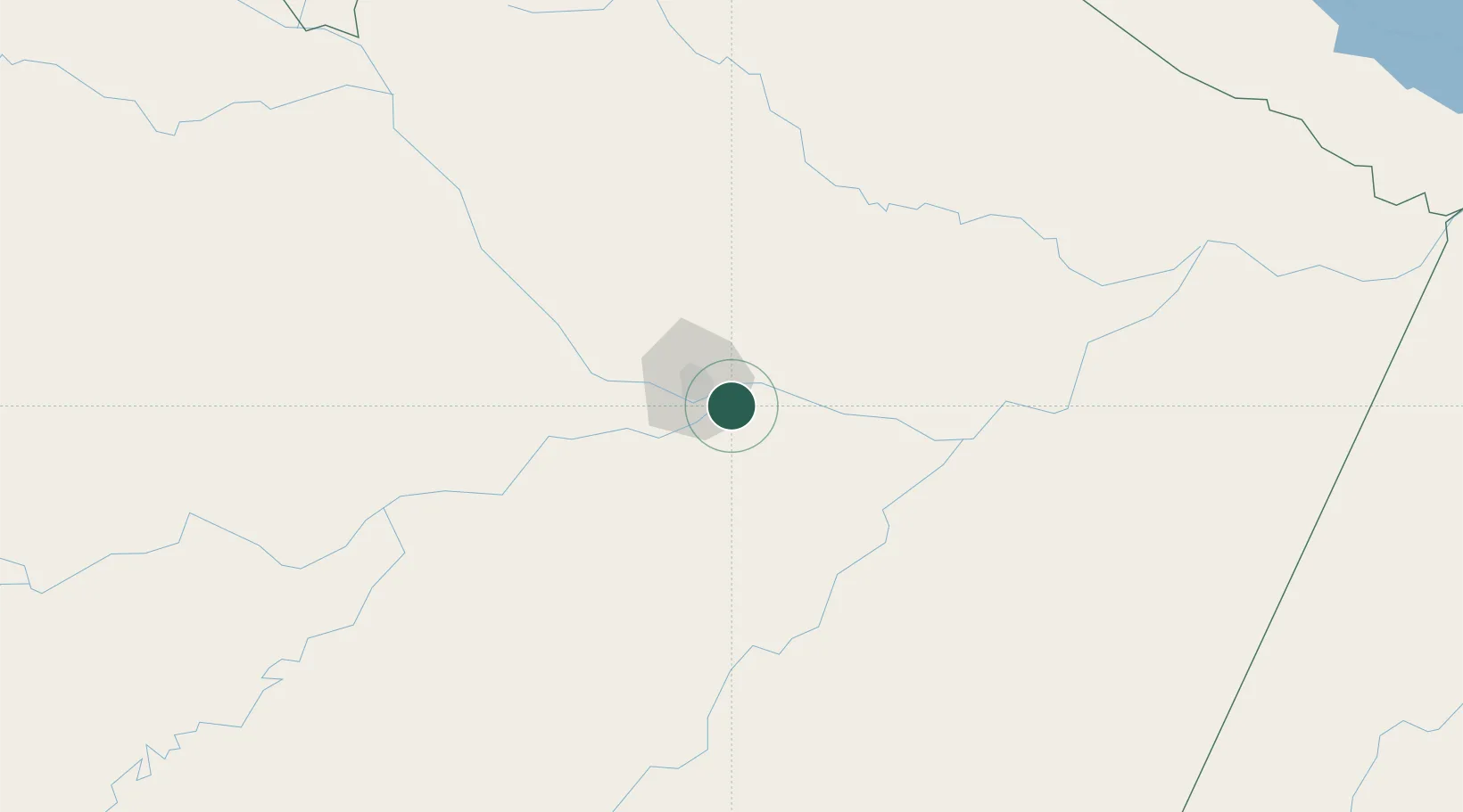
Careiro da Várzea
-3.1833°, -59.8167°
19,809
Population
2
Transport functions
Transport Functions
Port
Road
Hub Profile
Place type
Populated place
Region
Amazonas
Population
19,809
Time zone
America/Manaus
Elevation
17 m
Location
Nearby Logistics Neighbours
Cities
- 1Manaus20 km
- 2Iranduba42 km
- 3Manaquiri75 km
- 4Autazes87 km
- 5Manacapuru90 km
Ports
- 1Manaus23 km
- 2Itacoatiara152 km
- 3Santarem573 km
- 4Porto Santana1021 km
- 5Linden1035 km
Airports
- 1Ponta Pelada Airport / Manaus Air Base19 km
- 2Eduardo Gomes International Airport31 km
- 3Borba Airport138 km
- 4Itacoatiara Airport148 km
- 5Manicoré Airport334 km
Trade Zones
DatabookThe Record of Consolidated Knowledge
Brazil beyond logistics?