Transport Functions
Port
Road
Hub Profile
Place type
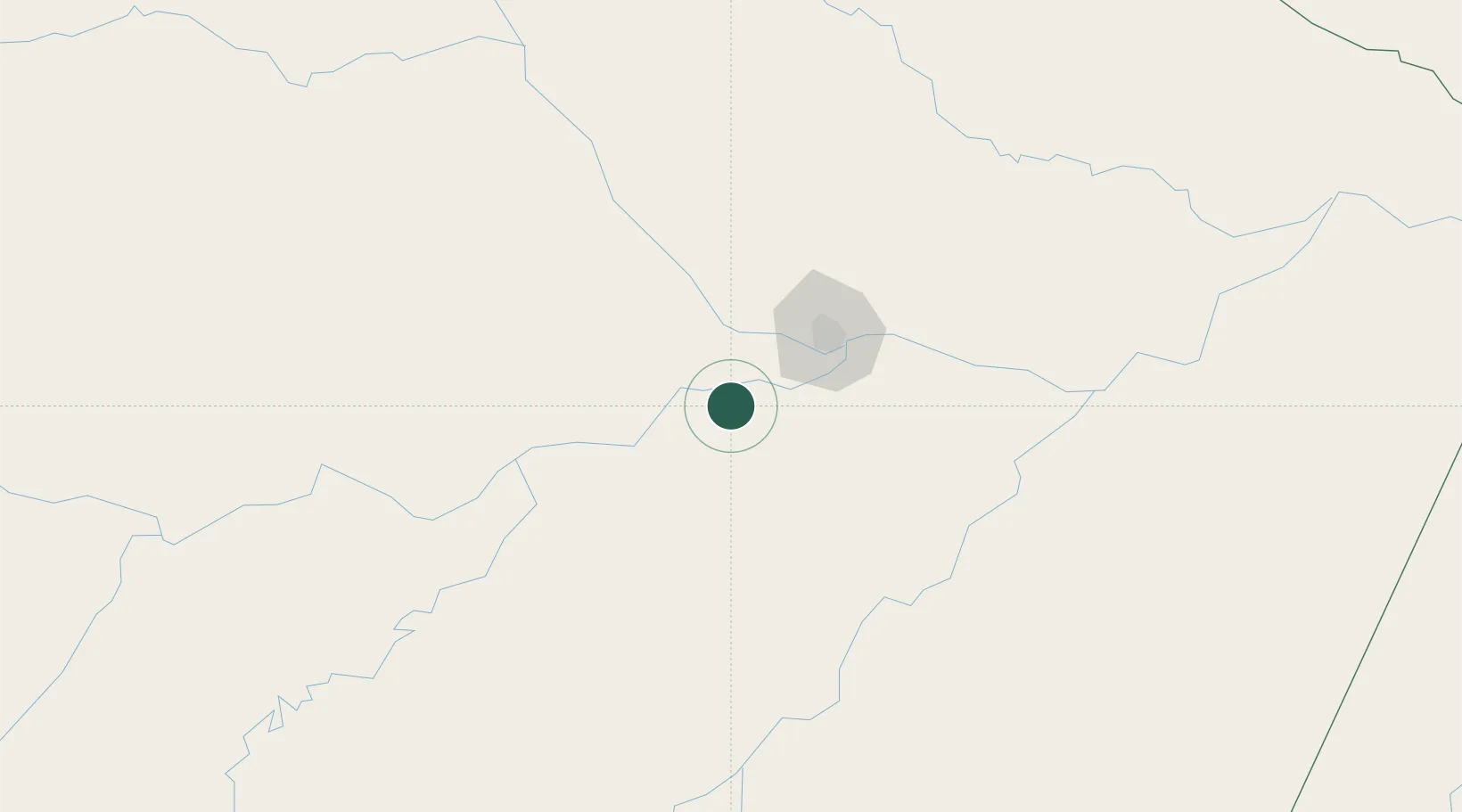
Populated place
Region
Amazonas
Population
17,009
Time zone
America/Manaus
Elevation
30 m
Location
Nearby Logistics Neighbours
Cities
- 1Manacapuru24 km
- 2Iranduba34 km
- 3Manaus62 km
- 4Careiro da Várzea75 km
- 5Novo Airão104 km
Ports
- 1Manaus58 km
- 2Itacoatiara224 km
- 3Santarem646 km
- 4Linden1074 km
- 5Porto Santana1096 km
Airports
- 1Ponta Pelada Airport / Manaus Air Base60 km
- 2Eduardo Gomes International Airport61 km
- 3Borba Airport145 km
- 4Itacoatiara Airport221 km
- 5Manicoré Airport282 km
Trade Zones
DatabookThe Record of Consolidated Knowledge
Brazil beyond logistics?