Transport Functions
Port
Road
Hub Profile
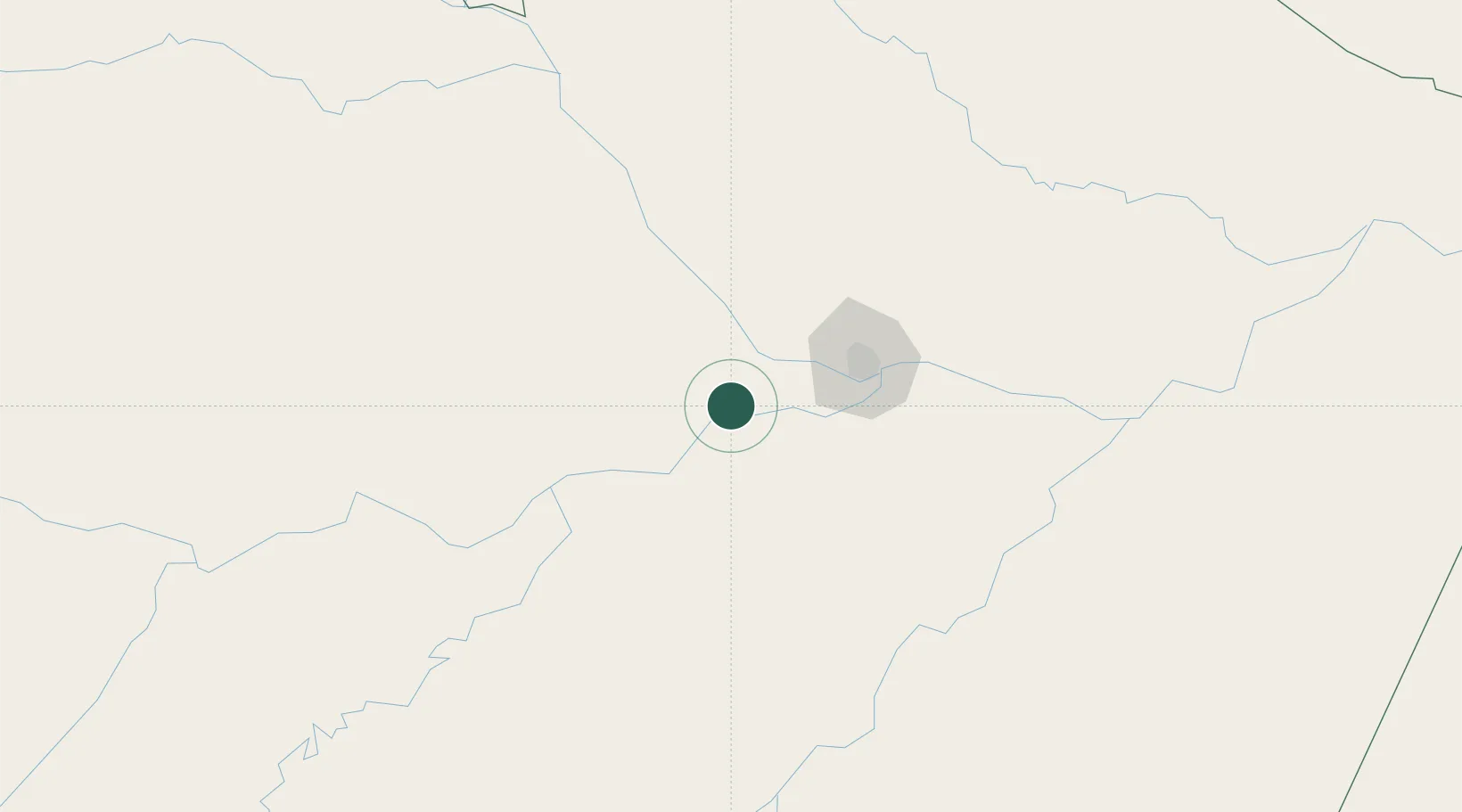
Place type
Populated place
Region
Amazonas
Population
110,691
Time zone
America/Manaus
Elevation
34 m
Location
Nearby Logistics Neighbours
Cities
- 1Manaquiri24 km
- 2Iranduba48 km
- 3Manaus73 km
- 4Novo Airão82 km
- 5Careiro da Várzea90 km
Ports
- 1Manaus69 km
- 2Itacoatiara241 km
- 3Santarem662 km
- 4Linden1064 km
- 5Nieuw Nickerie1103 km
Airports
- 1Eduardo Gomes International Airport69 km
- 2Ponta Pelada Airport / Manaus Air Base72 km
- 3Borba Airport168 km
- 4Itacoatiara Airport238 km
- 5Manicoré Airport291 km
Trade Zones
DatabookThe Record of Consolidated Knowledge
Brazil beyond logistics?