Transport Functions
Port
Road
Hub Profile
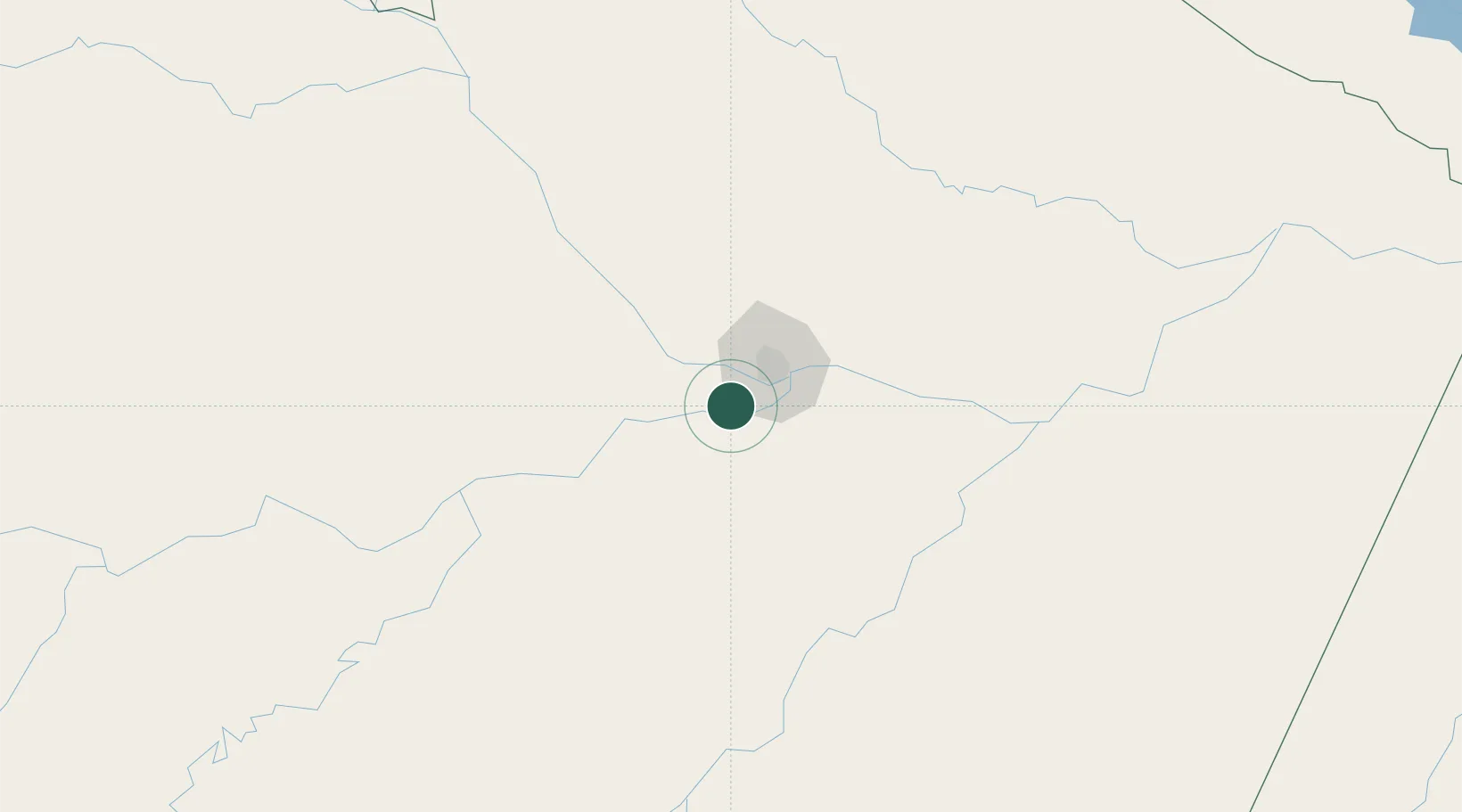
Place type
Populated place
Region
Amazonas
Population
67,114
Time zone
America/Manaus
Elevation
29 m
Location
Nearby Logistics Neighbours
Cities
- 1Manaus28 km
- 2Manaquiri34 km
- 3Careiro da Várzea42 km
- 4Manacapuru48 km
- 5Novo Airão110 km
Ports
- 1Manaus24 km
- 2Itacoatiara193 km
- 3Santarem614 km
- 4Linden1051 km
- 5Porto Santana1062 km
Airports
- 1Ponta Pelada Airport / Manaus Air Base26 km
- 2Eduardo Gomes International Airport29 km
- 3Borba Airport142 km
- 4Itacoatiara Airport190 km
- 5Manicoré Airport308 km
Trade Zones
DatabookThe Record of Consolidated Knowledge
Brazil beyond logistics?