UN/LOCODE hub · Brazil
BRMAO
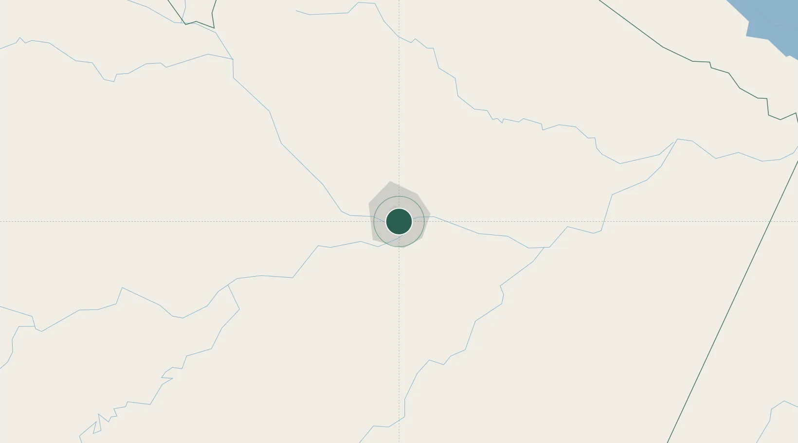
Manaus
-3.1157°, -59.9807°
2,219,580
Population
5
Transport functions
2
Container terminals
Transport Functions
Port
Road
Airport
Multimodal
Postal
Hub Profile
Place type
Regional capital
Region
Amazonas
Population
2,219,580
Time zone
America/Manaus
Elevation
20 m
Logistics facilities
21
Container terminals
2
Location
Nearby Logistics Neighbours
Cities
- 1Careiro da Várzea20 km
- 2Iranduba28 km
- 3Manaquiri62 km
- 4Manacapuru73 km
- 5Autazes107 km
Ports
- 1Itacoatiara170 km
- 2Santarem590 km
- 3Linden1031 km
- 4Porto Santana1036 km
- 5Nieuw Nickerie1061 km
Airports
- 1Ponta Pelada Airport / Manaus Air Base3 km
- 2Eduardo Gomes International Airport12 km
- 3Borba Airport150 km
- 4Itacoatiara Airport166 km
- 5Manicoré Airport333 km
Trade Zones
DatabookThe Record of Consolidated Knowledge
Brazil beyond logistics?