Specialized Zone · India

Infopark Special Economic Zone Active
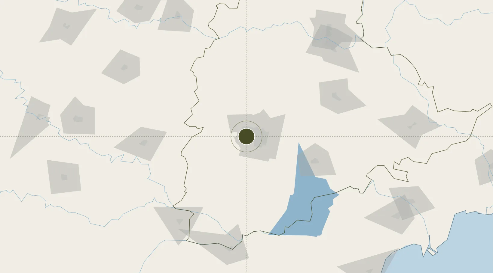
17.4378°, 78.2986°
30 ha
Zone area
405.2 km
Nearest port
18.0 km
Nearest airport

Gateway access

Nearest neighbours — logibook spatial index (haversine) over the source coordinates

Zone profile

Zone type
Specialized Zone
Open Zone Map
Specialization
IT
Open Zone Map
Region
Telangana
Open Zone Map
Status
Active
Open Zone Map
Management
Public-Private Partnership
Open Zone Map
Operator
The Government of Kerala
Open Zone Map
Legal framework
Andhra Pradesh Bill No. 51 of 2005
Open Zone Map

Location

Location of ozm-2252
Natural Earth 10m (public domain) · Telangana · ozm-2252 · 17.44, 78.30GoogleOSMYandex

Nearby Logistics Neighbours

Ports
  1. 1Kattupalli Port405 km
  2. 2Kakinada Bay430 km
  3. 3Kamarajar Port514 km
  4. 4Panaji524 km
  5. 5Gangavaram525 km
Nearest neighbours — logibook spatial index (haversine) over the source coordinates
Airports
  1. 1Begumpet Airport18 km
  2. 2Dundigul Air Force Academy24 km
  3. 3Rajiv Gandhi International Airport27 km
  4. 4Bidar Airport / Bidar Air Force Station101 km
  5. 5Kalaburagi Airport142 km
Nearest neighbours — logibook spatial index (haversine) over the source coordinates
Cities
  1. 1Hyderabad11 km
  2. 2APIICL-SEZ/Ranga Reddy20 km
  3. 3Hgsezl-SEZ/Ranga Reddy20 km
  4. 4CMTL ICD/Thimmapur31 km
  5. 5Igel Sez/Kodur-Settipali43 km
Nearest neighbours — logibook spatial index (haversine) over the source coordinates
Trade Zones
  1. 1Wipro Limited, Manikonda0 km
  2. 2DLF Commercial Developers Ltd, Gachibowli7 km
  3. 3Tech Mahindra Limited (Satyam Computers), Madhapur8 km
  4. 4Lanco Hills Technology, Manikonda8 km
  5. 5OMICS International10 km
Nearest neighbours — logibook spatial index (haversine) over the source coordinates
DatabookThe Record of Consolidated Knowledge
India beyond logistics?
Browse databook

All Sources

Trade ZonesOpen Zone Map
CC BY
Portsthe NGA World Port Index
Public domain (US gov)
AirportsOurAirports
Public domain
LocationsUN/LOCODE
UN/LOCODE — free
← India trade zones