Transport Functions
Rail
Road
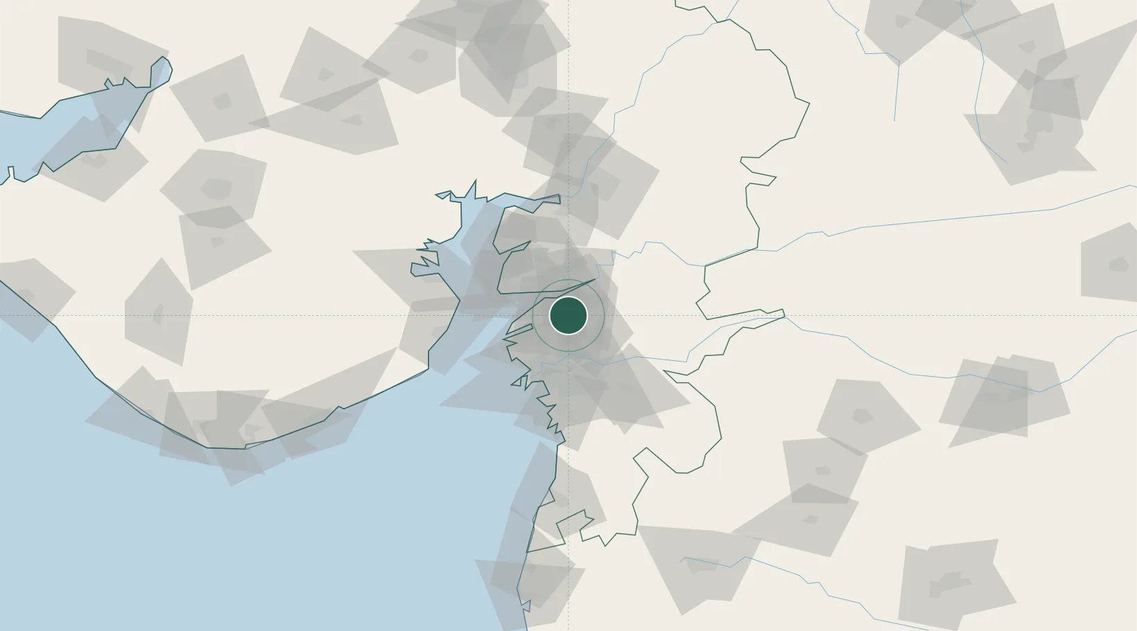
Hub Profile
Place type
Populated place
Region
Gujarat
Population
836
Time zone
Asia/Kolkata
Elevation
23 m
Location
Nearby Logistics Neighbours
Cities
- 1Ankleshwar12 km
- 2Sterling-SEZ/Bharuch19 km
- 3Bharuch19 km
- 4Dishman-Pharmaceutical-SEZ/Kalyangadh38 km
- 5Sap-SEZ/Surat43 km
Ports
- 1Magdalla48 km
- 2Dahej49 km
- 3Hazira61 km
- 4Bhavnagar80 km
- 5Pipavav Bandar165 km
Airports
Trade Zones
DatabookThe Record of Consolidated Knowledge
India beyond logistics?