Transport Functions
Rail
Road
Multimodal
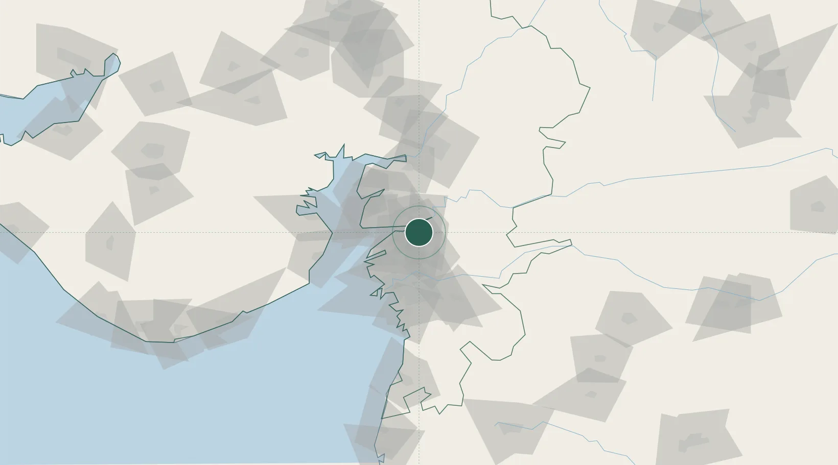
Hub Profile
Place type
Populated place
Region
Gujarat
Population
89,457
Time zone
Asia/Kolkata
Elevation
22 m
Logistics facilities
3
Location
Nearby Logistics Neighbours
Cities
- 1Sterling-SEZ/Bharuch10 km
- 2Bharuch10 km
- 3Panoli12 km
- 4Dishman-Pharmaceutical-SEZ/Kalyangadh31 km
- 5Dahez SEZ46 km
Ports
- 1Dahej51 km
- 2Magdalla60 km
- 3Hazira73 km
- 4Bhavnagar83 km
- 5Pipavav Bandar175 km
Airports
Trade Zones
- 1HBS Pharma SEZ Private Limited, Bharuch12 km
- 2Jubilant Infrastructure Ltd.21 km
- 3Dahej SEZ Ltd.46 km
- 4Gujarat Hira Bourse57 km
- 5Surat Apparel Park62 km
DatabookThe Record of Consolidated Knowledge
India beyond logistics?