Transport Functions
Port
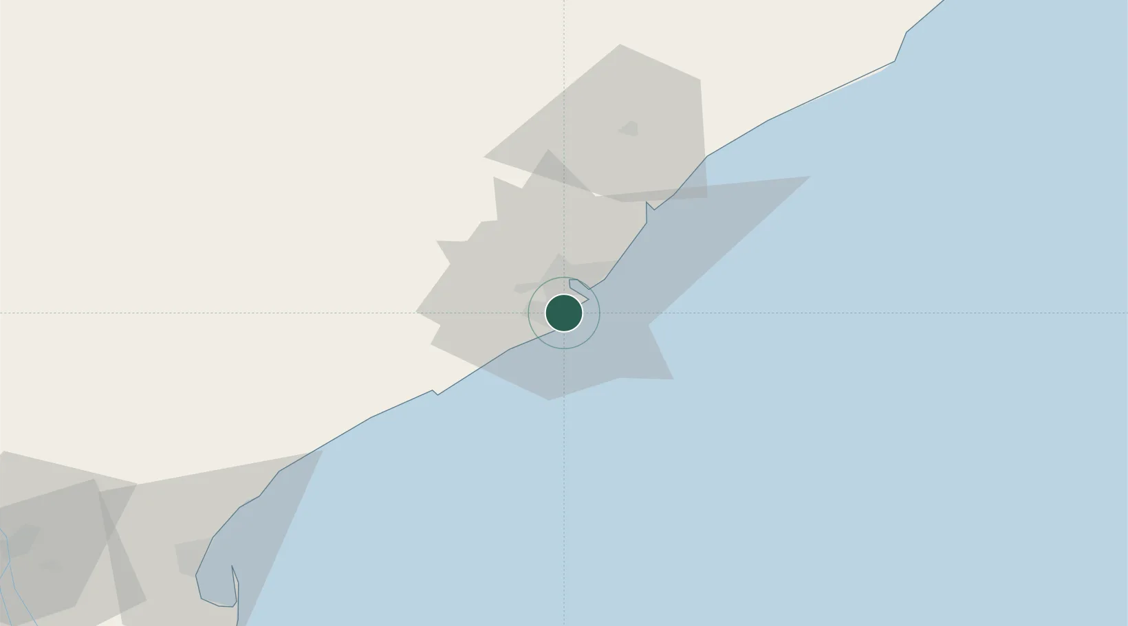
Hub Profile
Place type
Populated place
Region
Andhra Pradesh
Time zone
Asia/Kolkata
Elevation
88 m
Logistics facilities
1
Container terminals
1
Location
Nearby Logistics Neighbours
Cities
- 1Visakhapatnam8 km
- 2BIACPL SEZ/Visakhapatnam11 km
- 3APIICL SEZ/Visakhapatnam11 km
- 4RPCIPL SEZ/Visakhapatnam11 km
- 5Aal-SEZ/Vishakhapatnam11 km
Ports
- 1Vishakhapatnam9 km
- 2Kakinada Bay120 km
- 3Gopalpur261 km
- 4Paradip467 km
- 5Kattupalli Port501 km
Airports
- 1Visakhapatnam International Airport11 km
- 2Rajahmundry Airport162 km
- 3Jagdalpur Airport205 km
- 4Utkela Airport275 km
- 5Vijayawada International Airport286 km
DatabookThe Record of Consolidated Knowledge
India beyond logistics?