UN/LOCODE hub · India
INVTZ
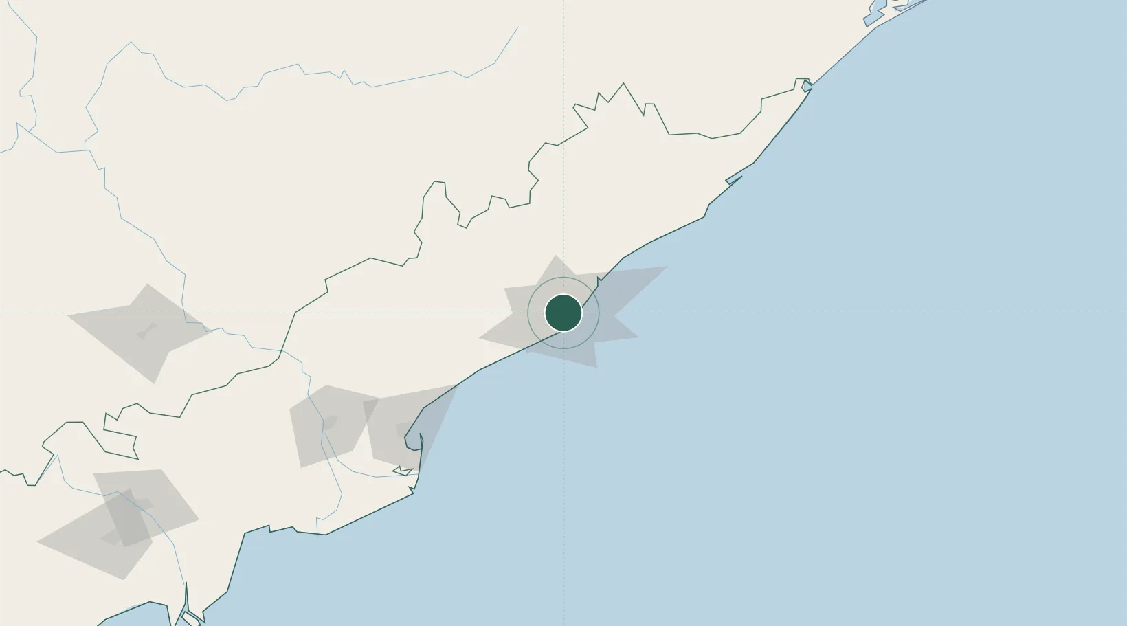
Visakhapatnam
17.7019°, 83.2397°
1,063,178
Population
5
Transport functions
1
Container terminals
Transport Functions
Port
Rail
Road
Airport
Multimodal
Hub Profile
Place type
Provincial seat
Region
Andhra Pradesh
Population
1,063,178
Time zone
Asia/Kolkata
Elevation
24 m
Logistics facilities
23
Container terminals
1
Location
Nearby Logistics Neighbours
Cities
Ports
- 1Vishakhapatnam7 km
- 2Gangavaram8 km
- 3Kakinada Bay125 km
- 4Gopalpur255 km
- 5Paradip461 km
Airports
- 1Visakhapatnam International Airport3 km
- 2Rajahmundry Airport165 km
- 3Jagdalpur Airport199 km
- 4Utkela Airport267 km
- 5Vijayawada International Airport290 km
DatabookThe Record of Consolidated Knowledge
India beyond logistics?