Specialized Zone · Ghana

Ashanti Technology Park Active
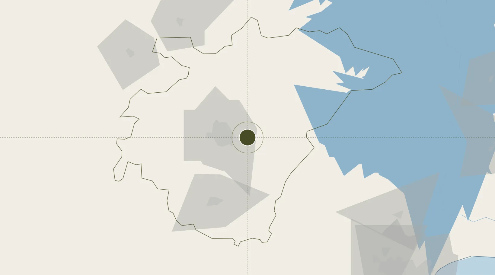
6.6940°, -1.4063°
444 ha
Zone area
170.7 km
Nearest port
20.5 km
Nearest airport

Gateway access

Nearest neighbours — logibook spatial index (haversine) over the source coordinates

Zone profile

Zone type
Specialized Zone
Open Zone Map
Specialization
IT
Open Zone Map
Region
Ashanti
Open Zone Map
Status
Active
Open Zone Map
Management
Public
Open Zone Map
Operator
Ghana Free Zone Authority, Ghana Free Zones Board
Open Zone Map
Legal framework
Ghana Free Zone Act of 1995
Open Zone Map

Location

Location of ozm-2051
Natural Earth 10m (public domain) · Ashanti · ozm-2051 · 6.69, -1.41GoogleOSMYandex

Nearby Logistics Neighbours

Ports
  1. 1Saltpond171 km
  2. 2Tema197 km
  3. 3Sekondi197 km
  4. 4Takoradi205 km
  5. 5Lome304 km
Nearest neighbours — logibook spatial index (haversine) over the source coordinates
Airports
  1. 1Prempeh I International Airport21 km
  2. 2Sunyani Airport126 km
  3. 3Kotoka International Airport183 km
  4. 4Takoradi Airport204 km
  5. 5Ho Airport215 km
Nearest neighbours — logibook spatial index (haversine) over the source coordinates
Cities
  1. 1Ahinsan42 km
  2. 2Obuasi62 km
  3. 3Kyebi111 km
  4. 4Katamanso124 km
  5. 5Mim130 km
Nearest neighbours — logibook spatial index (haversine) over the source coordinates
Trade Zones
  1. 1Tema Export Processing Zone193 km
  2. 2Cape Coast ICT Park197 km
  3. 3Sekondi Export Processing Zone204 km
  4. 4Shama Export Processing Zone204 km
  5. 5Dawa Industrial Zone210 km
Nearest neighbours — logibook spatial index (haversine) over the source coordinates
DatabookThe Record of Consolidated Knowledge
Ghana beyond logistics?
Browse databook

All Sources

Trade ZonesOpen Zone Map
CC BY
Portsthe NGA World Port Index
Public domain (US gov)
AirportsOurAirports
Public domain
LocationsUN/LOCODE
UN/LOCODE — free
← Ghana trade zones