Economic Revitalization Project · France
ZFU Orléans Active
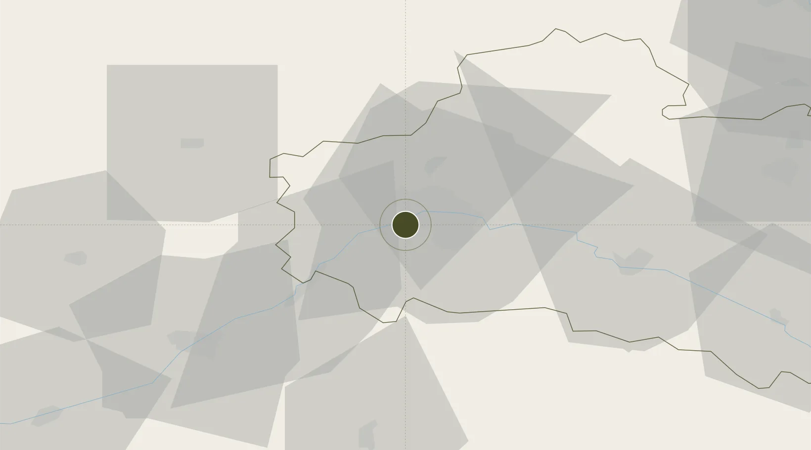
47.8734°, 1.8420°
90 ha
Zone area
184.3 km
Nearest port
14.1 km
Nearest airport
Gateway access
Zone profile
Zone type
Economic Revitalization Project
Region
Loiret
Status
Active
Management
Public
Operator
Orléans Métropole
Legal framework
Décret no 65-939 du 8 novembre 1965, Décret du 9 Octobre 2008
Location
Nearby Logistics Neighbours
Ports
- 1Port Of Rouen184 km
- 2Honfleur209 km
- 3Deauville210 km
- 4Port De Caen217 km
- 5Port Of Le Havre219 km
Airports
- 1Orléans-Bricy (BA 123) Air Base14 km
- 2Châteaudun Airfield40 km
- 3Tours Val de Loire Airport97 km
- 4Bourges airport99 km
- 5Toussus-le-Noble Airport100 km
Cities
- 1Olivet4 km
- 2Mareau-aux-Prés4 km
- 3Orléans5 km
- 4Ormes7 km
- 5Cléry-Saint-André9 km
Trade Zones
- 1ZFU Blois54 km
- 2ZFU Corbeil-Evry92 km
- 3ZFU Melun95 km
- 4ZFU Bourges96 km
- 5ZFU Grigny Viry-Châtillon97 km
DatabookThe Record of Consolidated Knowledge
France beyond logistics?