Medium airport · France

Châteaudun AirfieldLFOC
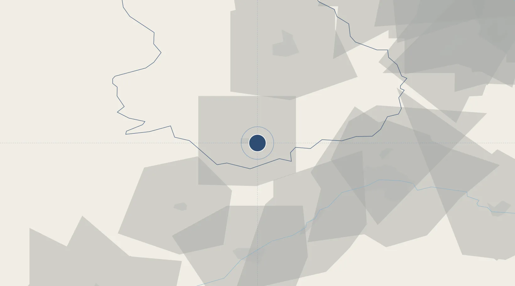
48.0579°, 1.3793°
7,552 ft
Longest runway
1
Runways
433 ft
Elevation

Runway & Layout

Châteaudun Airfield runway & taxiway layout
Runway & taxiway layout — OpenStreetMap (ODbL) / OurAirports

Radio Frequencies

TWR
125.625 MHz
APP
37.057 MHz
BRICY APP
APP
122.7 MHz
BRICY APP
GCA
37.492 MHz
GCA
123.3 MHz
OurAirports

Navaids

CDN NDB Châteaudun 360 kHz
VMP VOR-DME Châteaudun 117.20 MHz
OurAirports

Runways · 1

RunwayDimensions SurfaceTrue headingLit
10/28 7,552 × 148ft Asphalt 098°
OurAirports

Airport Specifications

ICAO code
LFOC
OurAirports
Airport class
Medium airport
OurAirports
Scheduled service
No
OurAirports
Runway surface
Asphalt
OurAirports
Served city
Châteaudun, Eure-et-Loir
OurAirports

Location

Location of LFOC
Natural Earth 10m (public domain) · Eure-et-Loir · LFOC · 48.06, 1.38GoogleOSMYandex

Nearby Logistics Neighbours

Airports
  1. 1Orléans-Bricy (BA 123) Air Base29 km
  2. 2Tours Val de Loire Airport85 km
  3. 3Le Mans-Arnage Airport89 km
  4. 4Toussus-le-Noble Airport94 km
  5. 5Vélizy-Villacoublay Air Base100 km
Nearest neighbours — logibook spatial index (haversine) over the source coordinates
Cities
  1. 1Châteaudun4 km
  2. 2Coulaines13 km
  3. 3Saint-Jean-Froidmentel15 km
  4. 4Morée21 km
  5. 5Orgères-en-Beauce26 km
Nearest neighbours — logibook spatial index (haversine) over the source coordinates
Ports
  1. 1Port Of Rouen157 km
  2. 2Honfleur174 km
  3. 3Deauville174 km
  4. 4Port De Caen178 km
  5. 5Ouistreham181 km
Nearest neighbours — logibook spatial index (haversine) over the source coordinates
Trade Zones
  1. 1ZFU Orléans40 km
  2. 2ZFU Blois54 km
  3. 3ZFU Dreux et Sainte-Gemme-Moronval77 km
  4. 4ZFU Trappes92 km
  5. 5ZFU Le Mans94 km
Nearest neighbours — logibook spatial index (haversine) over the source coordinates
DatabookThe Record of Consolidated Knowledge
France beyond logistics?
Browse databook

All Sources

AirportsOurAirports
Public domain
Portsthe NGA World Port Index
Public domain (US gov)
LocationsUN/LOCODE
UN/LOCODE — free
Trade Zonesthe World Bank SEZ database
CC BY 4.0
Trade ZonesOpen Zone Map
CC BY
InfrastructureOpenStreetMap
ODbL 1.0
← France airports