Transport Functions
Rail
Road
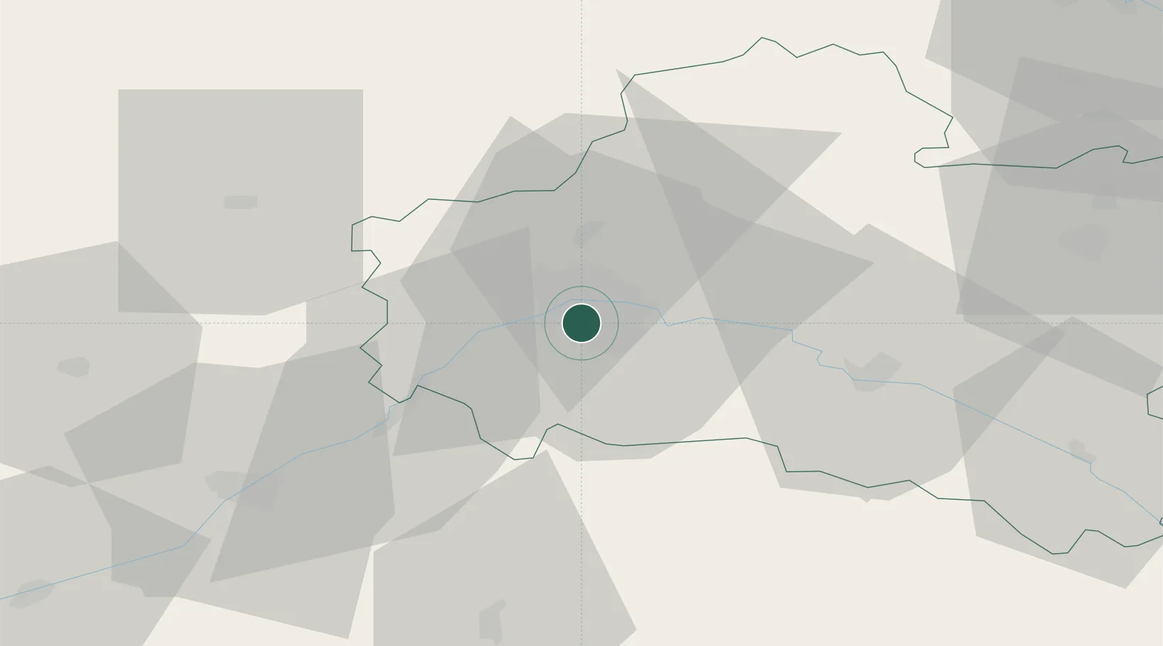
Hub Profile
Place type
Populated place
Region
Centre-Val de Loire
Population
22,604
Time zone
Europe/Paris
Elevation
105 m
Location
Nearby Logistics Neighbours
Cities
- 1Orléans4 km
- 2Mareau-aux-Prés9 km
- 3Ormes10 km
- 4Sandillon10 km
- 5Cléry-Saint-André13 km
Ports
- 1Port Of Rouen186 km
- 2Honfleur212 km
- 3Deauville214 km
- 4Port De Caen221 km
- 5Port Of Le Havre222 km
Airports
- 1Orléans-Bricy (BA 123) Air Base17 km
- 2Châteaudun Airfield44 km
- 3Bourges airport96 km
- 4Toussus-le-Noble Airport100 km
- 5Melun-Villaroche Airfield100 km
Trade Zones
- 1ZFU Orléans4 km
- 2ZFU Blois57 km
- 3ZFU Corbeil-Evry90 km
- 4ZFU Melun93 km
- 5ZFU Bourges93 km
DatabookThe Record of Consolidated Knowledge
France beyond logistics?