Economic Revitalization Project · France
ZFU Melun Active
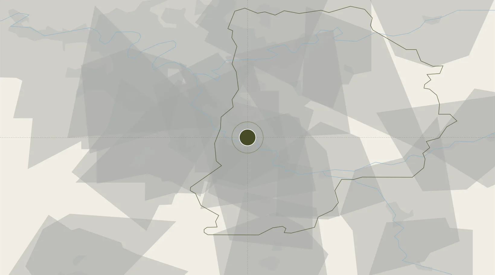
48.5421°, 2.6377°
222 ha
Zone area
152.7 km
Nearest port
7.4 km
Nearest airport
Gateway access
Zone profile
Zone type
Economic Revitalization Project
Region
Seien-et-Marne
Status
Active
Management
Public
Operator
Ville de Melun
Legal framework
Décret no 65-939 du 8 novembre 1965, Décret du 9 Octobre 2008
Location
Nearby Logistics Neighbours
Ports
- 1Port Of Rouen153 km
- 2Dieppe192 km
- 3Le Treport193 km
- 4Saint-Valery-Sur-Somme197 km
- 5Honfleur202 km
Airports
Cities
- 1Melun2 km
- 2Vaux-le-Pénil2 km
- 3Dammarie-les-Lys3 km
- 4Vert-Saint-Denis3 km
- 5Boissettes3 km
Trade Zones
DatabookThe Record of Consolidated Knowledge
France beyond logistics?