Medium airport · France
Bourges airportLFLD
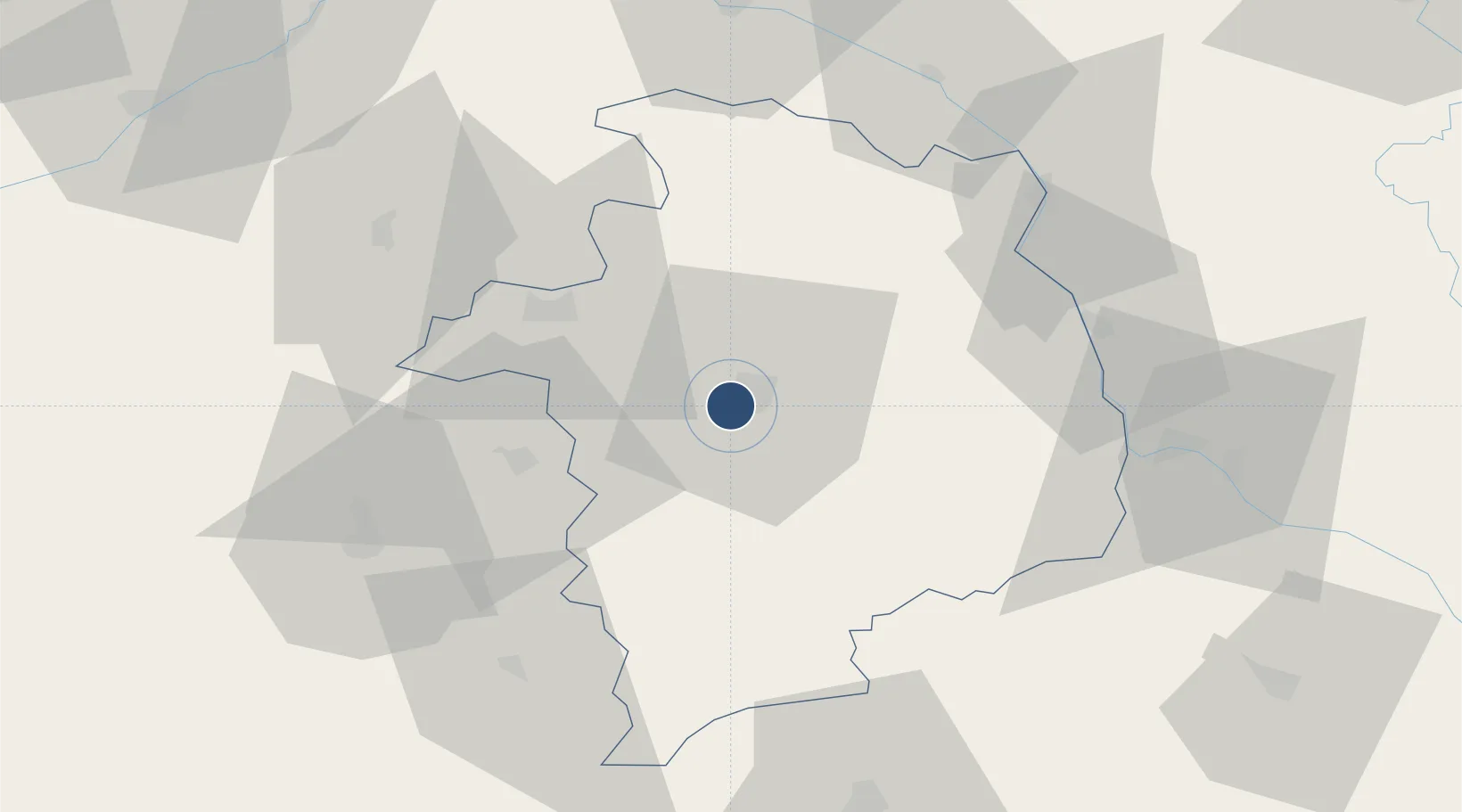
47.0602°, 2.3696°
5,085 ft
Longest runway
1
Runways
529 ft
Elevation
Runway & Layout

Radio Frequencies
AFIS
119.6 MHz
INFO
Runways · 1
| Runway | Dimensions | Surface | True heading | Lit |
|---|---|---|---|---|
| 06/24 | 5,085 × 148ft | Asphalt | 059° | ✓ |
Airport Specifications
IATA code
BOU
ICAO code
LFLD
Airport class
Medium airport
Scheduled service
No
Runway surface
Asphalt
Served city
Bourges
Location
Nearby Logistics Neighbours
Airports
Cities
- 1Bourges4 km
- 2Berry-Bouy8 km
- 3Arçay12 km
- 4Preuilly15 km
- 5Vignoux-sous-les-Aix16 km
Ports
- 1Tonnay Charente280 km
- 2Port Of Rouen283 km
- 3Rochefort283 km
- 4La Rochelle287 km
- 5La Pallice291 km
Trade Zones
- 1ZFU Bourges4 km
- 2ZFU Orléans99 km
- 3ZFU Blois101 km
- 4ZFU Sens143 km
- 5ZFU Clermont-Ferrand152 km
DatabookThe Record of Consolidated Knowledge
France beyond logistics?