Economic Revitalization Project · France
ZFU Blois Active
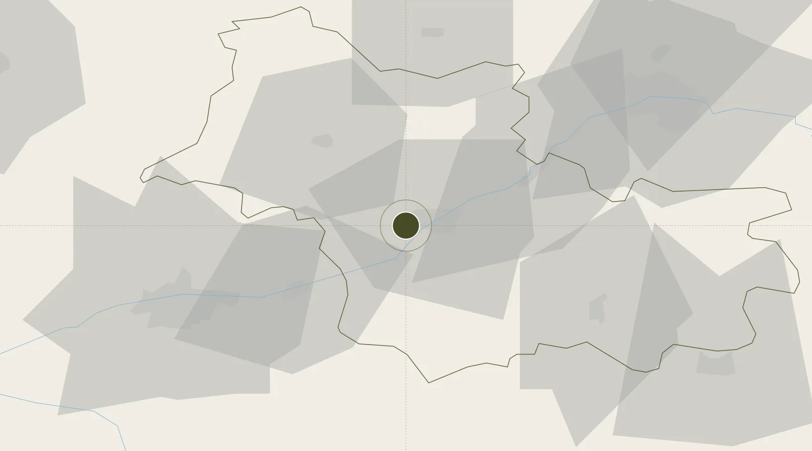
47.5813°, 1.2698°
172 ha
Zone area
208.3 km
Nearest port
44.0 km
Nearest airport
Gateway access
Zone profile
Zone type
Economic Revitalization Project
Region
Loir-et-Cher
Status
Active
Management
Public
Operator
Ville de Blois
Legal framework
Décret no 65-939 du 8 novembre 1965, Décret du 9 Octobre 2008
Location
Nearby Logistics Neighbours
Ports
- 1Port Of Rouen208 km
- 2Port De Caen215 km
- 3Deauville217 km
- 4Nantes218 km
- 5Honfleur218 km
Airports
Cities
- 1Blois5 km
- 2Candé-sur-Beuvron9 km
- 3Cellettes10 km
- 4Chitenay12 km
- 5Saint-Claude-de-Diray12 km
Trade Zones
- 1ZFU Orléans54 km
- 2ZFU Le Mans96 km
- 3ZFU Bourges97 km
- 4ZFU Alençon129 km
- 5ZFU Dreux et Sainte-Gemme-Moronval130 km
DatabookThe Record of Consolidated Knowledge
France beyond logistics?