Economic Revitalization Project · France

ZFU Corbeil-Evry Active
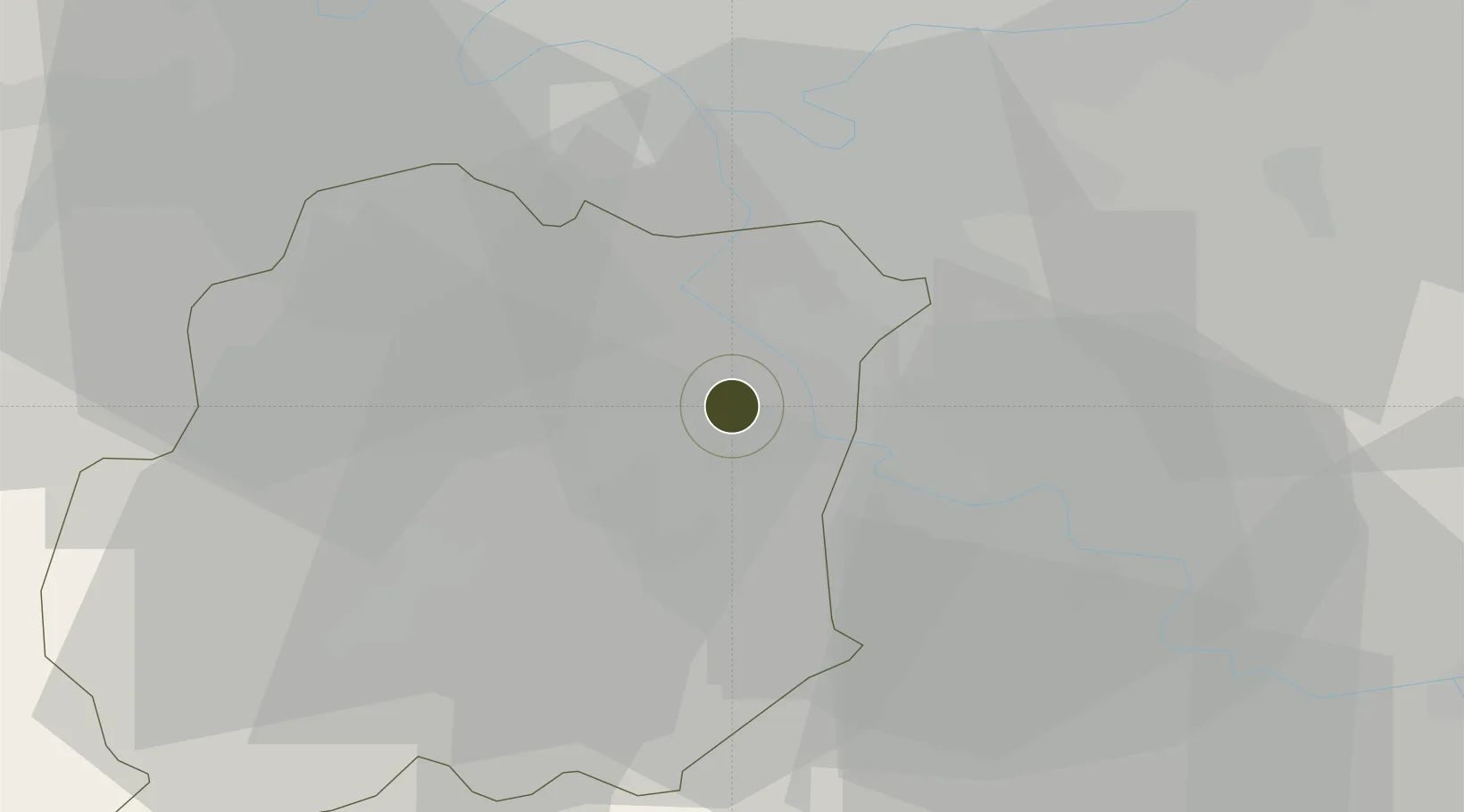
48.5973°, 2.4295°
239 ha
Zone area
137.3 km
Nearest port
14.5 km
Nearest airport

Gateway access

Nearest neighbours — logibook spatial index (haversine) over the source coordinates

Zone profile

Zone type
Economic Revitalization Project
Open Zone Map
Region
Essonne
Open Zone Map
Status
Active
Open Zone Map
Management
Public
Open Zone Map
Operator
Corbeil-Essonnes
Open Zone Map
Legal framework
Décret no 65-939 du 8 novembre 1965, Décret du 9 Octobre 2008
Open Zone Map

Location

Location of ozm-2007
Natural Earth 10m (public domain) · Essonne · ozm-2007 · 48.60, 2.43GoogleOSMYandex

Nearby Logistics Neighbours

Ports
  1. 1Port Of Rouen137 km
  2. 2Dieppe178 km
  3. 3Le Treport181 km
  4. 4Honfleur185 km
  5. 5Saint-Valery-Sur-Somme186 km
Nearest neighbours — logibook spatial index (haversine) over the source coordinates
Airports
  1. 1Paris-Orly Airport15 km
  2. 2Melun-Villaroche Airfield18 km
  3. 3Vélizy-Villacoublay Air Base26 km
  4. 4Toussus-le-Noble Airport29 km
  5. 5Paris-Le Bourget International Airport41 km
Nearest neighbours — logibook spatial index (haversine) over the source coordinates
Cities
  1. 1Villabé2 km
  2. 2Évry2 km
  3. 3Corbeil-Essonnes4 km
  4. 4Étiolles5 km
  5. 5Fontenay-le-Vicomte6 km
Nearest neighbours — logibook spatial index (haversine) over the source coordinates
Trade Zones
  1. 1ZFU Grigny Viry-Châtillon9 km
  2. 2ZFU Epinay-sous-Sénart11 km
  3. 3ZFU Melun17 km
  4. 4ZFU Choisy-le-Roi et Orly18 km
  5. 5ZFU Vitry-sur-Seine22 km
Nearest neighbours — logibook spatial index (haversine) over the source coordinates
DatabookThe Record of Consolidated Knowledge
France beyond logistics?
Browse databook

All Sources

Trade ZonesOpen Zone Map
CC BY
Portsthe NGA World Port Index
Public domain (US gov)
AirportsOurAirports
Public domain
LocationsUN/LOCODE
UN/LOCODE — free
← France trade zones