Economic Revitalization Project · France
ZFU Bourges Active
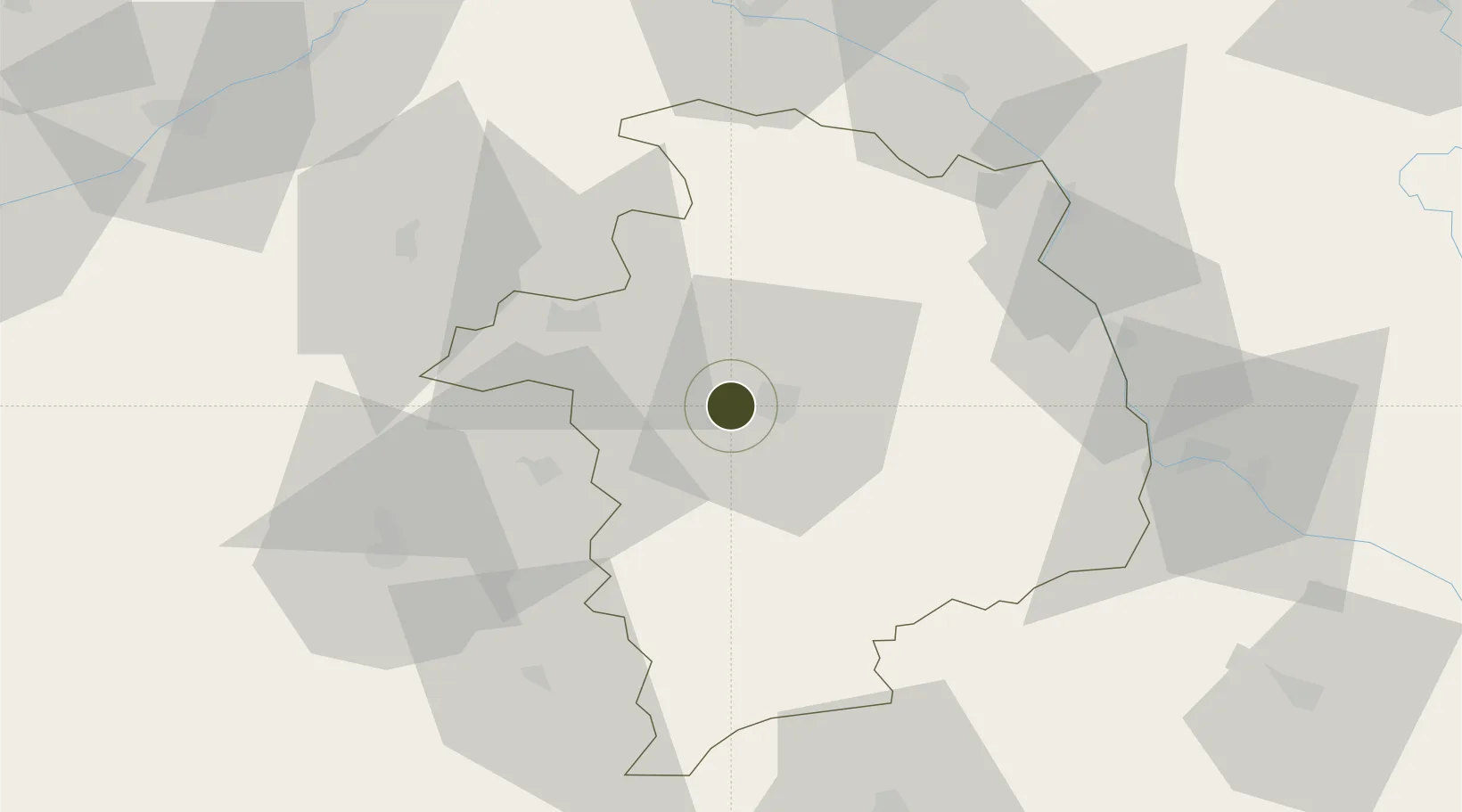
47.0780°, 2.3281°
187 ha
Zone area
277.9 km
Nearest port
3.7 km
Nearest airport
Gateway access
Zone profile
Zone type
Economic Revitalization Project
Region
Cher
Status
Active
Management
Public
Operator
Ville de Bourges
Legal framework
Décret no 65-939 du 8 novembre 1965, Décret du 9 Octobre 2008
Location
Nearby Logistics Neighbours
Ports
- 1Tonnay Charente278 km
- 2Port Of Rouen280 km
- 3Rochefort281 km
- 4La Rochelle285 km
- 5La Pallice289 km
Airports
- 1Bourges airport4 km
- 2Avord (BA 702) Air Base23 km
- 3Châteauroux Déols airport52 km
- 4Nevers-Fourchambault Airport60 km
- 5Montluçon-Guéret Airport95 km
Cities
- 1Berry-Bouy5 km
- 2Bourges6 km
- 3Preuilly11 km
- 4Arçay14 km
- 5Vignoux-sous-les-Aix16 km
Trade Zones
- 1ZFU Orléans96 km
- 2ZFU Blois97 km
- 3ZFU Sens143 km
- 4ZFU Montereau-Fault-Yonne153 km
- 5ZFU Clermont-Ferrand155 km
DatabookThe Record of Consolidated Knowledge
France beyond logistics?