UN/LOCODE hub · France
FRCA4
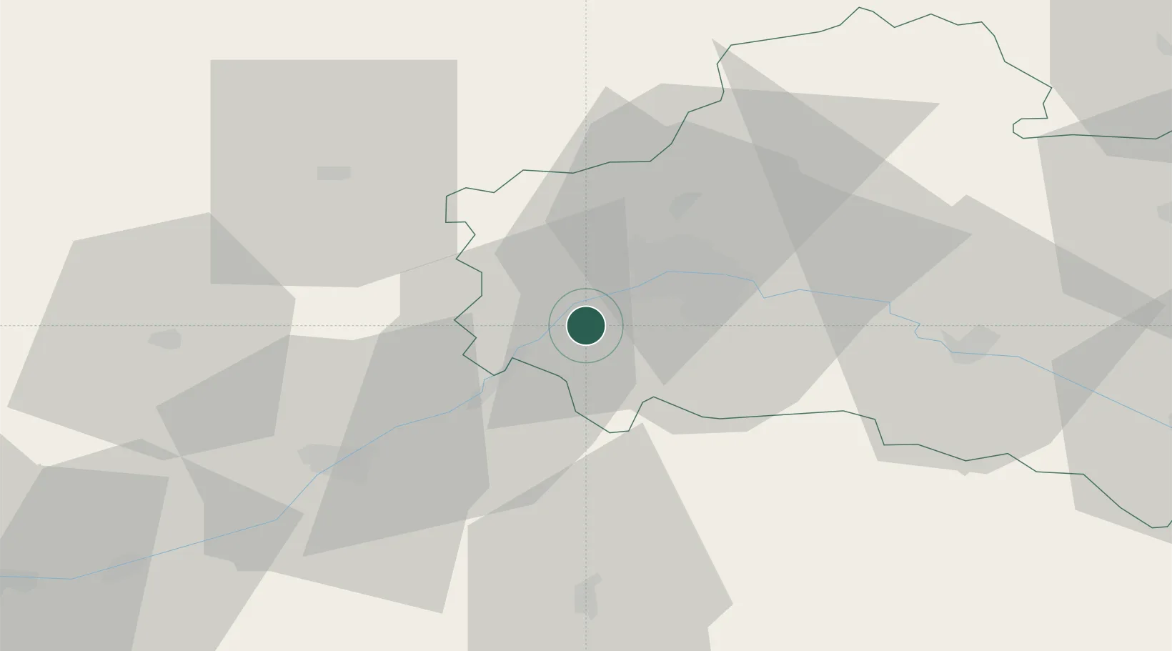
Cléry-Saint-André
47.8167°, 1.7500°
2,975
Population
1
Transport functions
Transport Functions
Multimodal
Hub Profile
Place type
Populated place
Region
Centre-Val de Loire
Population
2,975
Time zone
Europe/Paris
Elevation
90 m
Location
Nearby Logistics Neighbours
Cities
- 1Meung-sur-Loire4 km
- 2Mareau-aux-Prés6 km
- 3Olivet13 km
- 4Ormes14 km
- 5Orléans15 km
Ports
- 1Port Of Rouen188 km
- 2Honfleur211 km
- 3Deauville212 km
- 4Port De Caen217 km
- 5Ouistreham220 km
Airports
- 1Orléans-Bricy (BA 123) Air Base19 km
- 2Châteaudun Airfield39 km
- 3Tours Val de Loire Airport88 km
- 4Bourges airport96 km
- 5Châteauroux Déols airport106 km
Trade Zones
- 1ZFU Orléans9 km
- 2ZFU Blois45 km
- 3ZFU Bourges93 km
- 4ZFU Corbeil-Evry100 km
- 5ZFU Melun104 km
DatabookThe Record of Consolidated Knowledge
France beyond logistics?