Medium airport · France

Toussus-le-Noble AirportLFPN
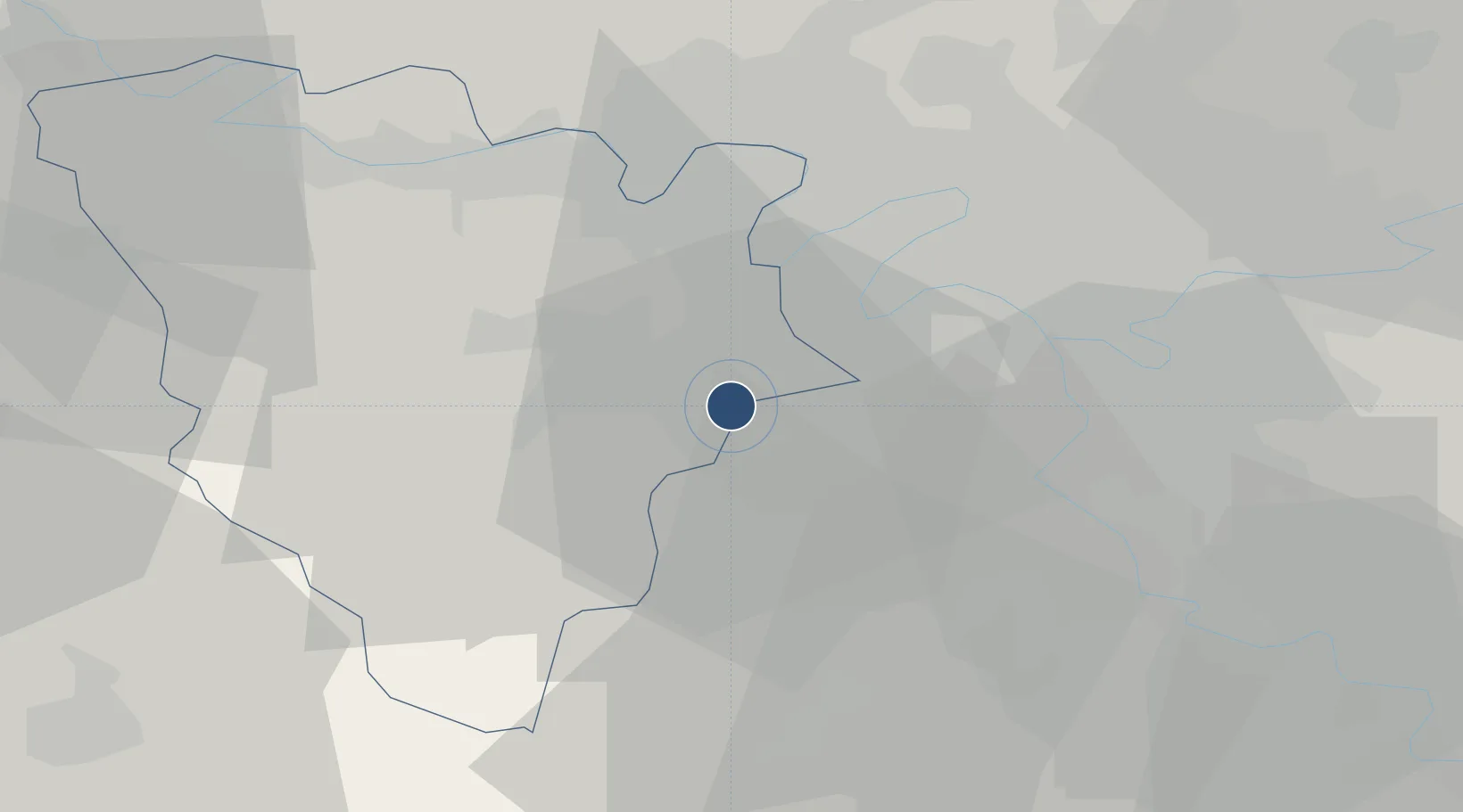
48.7519°, 2.1062°
3,609 ft
Longest runway
2
Runways
538 ft
Elevation

Runway & Layout

Toussus-le-Noble Airport runway & taxiway layout
Runway & taxiway layout — OpenStreetMap (ODbL) / OurAirports

Radio Frequencies

ATIS
127.475 MHz
TWR
120.75 MHz
GND
122.13 MHz
OurAirports

Navaids

TSU VOR Toussus 108.25 MHz
OurAirports

Runways · 2

RunwayDimensions SurfaceTrue headingLit
07L/25R 3,609 × 98ft Asphalt 070°
07R/25L 3,445 × 98ft Asphalt 070°
OurAirports

Airport Specifications

IATA code
TNF
OurAirports
ICAO code
LFPN
OurAirports
Airport class
Medium airport
OurAirports
Scheduled service
No
OurAirports
Runway surface
Asphalt
OurAirports
Served city
Toussus-le-Noble, Yvelines
OurAirports

Location

Location of LFPN
Natural Earth 10m (public domain) · Yvelines · LFPN · 48.75, 2.11GoogleOSMYandex

Nearby Logistics Neighbours

Airports
  1. 1Vélizy-Villacoublay Air Base8 km
  2. 2Paris-Orly Airport20 km
  3. 3Paris-Le Bourget International Airport34 km
  4. 4Pontoise-Cormeilles Aerodrome39 km
  5. 5Charles de Gaulle International Airport44 km
Nearest neighbours — logibook spatial index (haversine) over the source coordinates
Cities
  1. 1Châteaufort2 km
  2. 2Les Loges-en-Josas3 km
  3. 3Saint-Aubin4 km
  4. 4Jouy-en-Josas5 km
  5. 5Versailles6 km
Nearest neighbours — logibook spatial index (haversine) over the source coordinates
Ports
  1. 1Port Of Rouen108 km
  2. 2Dieppe151 km
  3. 3Le Treport156 km
  4. 4Honfleur156 km
  5. 5Deauville163 km
Nearest neighbours — logibook spatial index (haversine) over the source coordinates
Trade Zones
  1. 1ZFU Trappes8 km
  2. 2ZFU Vitry-sur-Seine20 km
  3. 3ZFU Sartrouville21 km
  4. 4ZFU Grigny Viry-Châtillon22 km
  5. 5ZFU Choisy-le-Roi et Orly22 km
Nearest neighbours — logibook spatial index (haversine) over the source coordinates
DatabookThe Record of Consolidated Knowledge
France beyond logistics?
Browse databook

All Sources

AirportsOurAirports
Public domain
Portsthe NGA World Port Index
Public domain (US gov)
LocationsUN/LOCODE
UN/LOCODE — free
Trade Zonesthe World Bank SEZ database
CC BY 4.0
Trade ZonesOpen Zone Map
CC BY
InfrastructureOpenStreetMap
ODbL 1.0
← France airports