Transport Functions
Road
Multimodal
Hub Profile
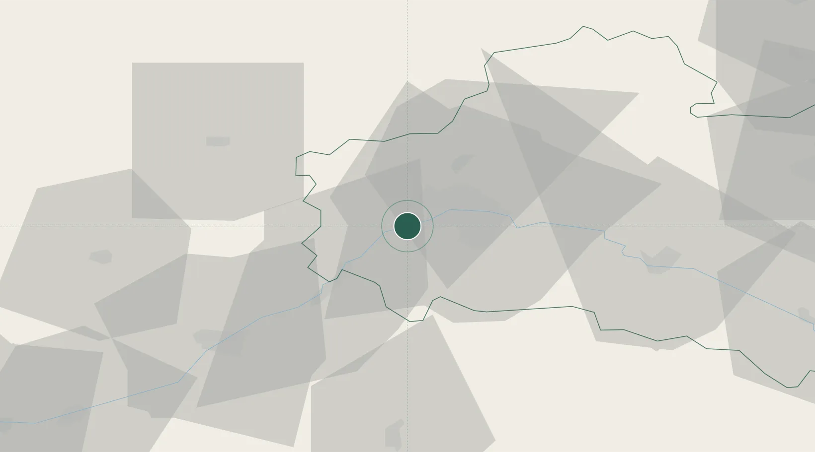
Place type
Populated place
Region
Centre-Val de Loire
Population
1,224
Time zone
Europe/Paris
Elevation
94 m
Location
Nearby Logistics Neighbours
Cities
- 1Cléry-Saint-André6 km
- 2Meung-sur-Loire7 km
- 3Ormes8 km
- 4Olivet9 km
- 5Orléans10 km
Ports
- 1Port Of Rouen184 km
- 2Honfleur207 km
- 3Deauville208 km
- 4Port De Caen215 km
- 5Ouistreham217 km
Airports
- 1Orléans-Bricy (BA 123) Air Base14 km
- 2Châteaudun Airfield37 km
- 3Tours Val de Loire Airport93 km
- 4Bourges airport100 km
- 5Toussus-le-Noble Airport101 km
Trade Zones
- 1ZFU Orléans4 km
- 2ZFU Blois50 km
- 3ZFU Corbeil-Evry94 km
- 4ZFU Bourges97 km
- 5ZFU Melun98 km
DatabookThe Record of Consolidated Knowledge
France beyond logistics?