Medium airport · France
Tours Val de Loire AirportLFOT
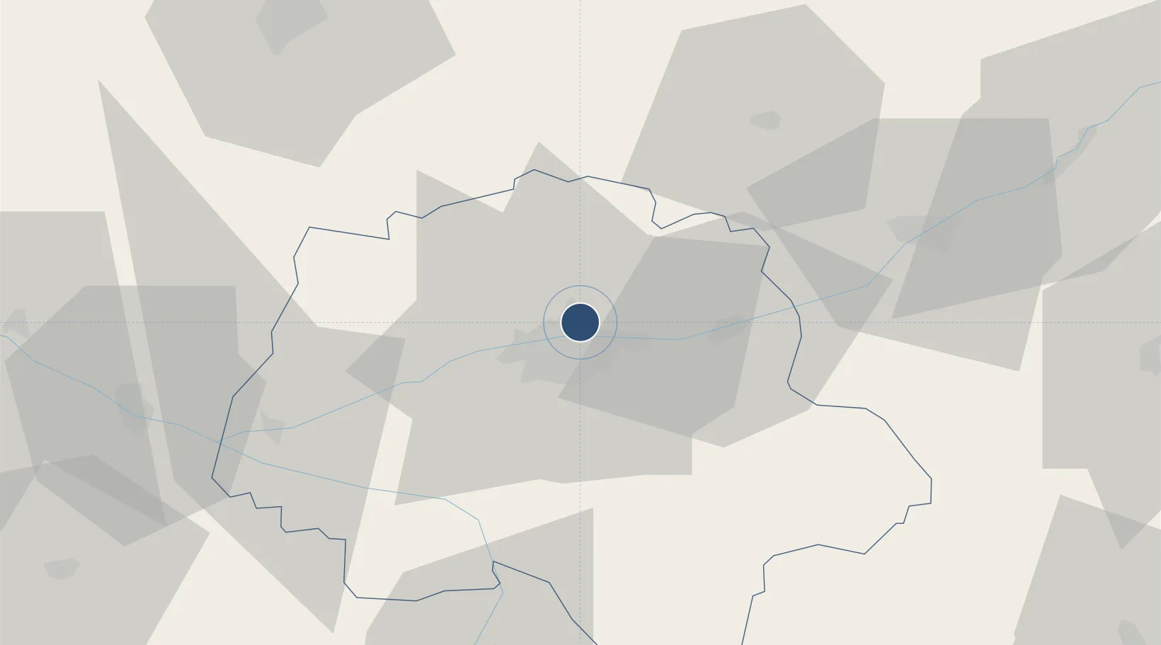
47.4322°, 0.7276°
7,887 ft
Longest runway
1
Runways
357 ft
Elevation
Runway & Layout

Radio Frequencies
TWR
118.3 MHz
TOURS TWR
GND
122.1 MHz
TOURS GND
APP
37.925 MHz
TOURS APP
APP
121 MHz
TOURS APP
AFIS
118.3 MHz
TOURS INFO
Navaids
AMB VOR-DME Amboise 113.70 MHz
AMB NDB Amboise 341 kHz
TUR TACAN Tours 113.80 MHz
TUR NDB Tours 331 kHz
Runways · 1
| Runway | Dimensions | Surface | True heading | Lit |
|---|---|---|---|---|
| 02/20 | 7,887 × 148ft | Concrete | 015° | ✓ |
Airport Specifications
IATA code
TUF
ICAO code
LFOT
Airport class
Medium airport
Scheduled service
Yes
Runway surface
Concrete
Served city
Tours, Indre-et-Loire
Location
Nearby Logistics Neighbours
Airports
- 1Le Mans-Arnage Airport70 km
- 2Angers Marcé airport79 km
- 3Châteaudun Airfield85 km
- 4Châteauroux Déols airport99 km
- 5Orléans-Bricy (BA 123) Air Base99 km
Cities
- 1Notre-Dame-d'Oé2 km
- 2Tours5 km
- 3Larçay8 km
- 4Mettray9 km
- 5Linières-Bouton9 km
Ports
- 1Nantes175 km
- 2La Rochelle202 km
- 3La Pallice204 km
- 4Tonnay Charente208 km
- 5Rochefort210 km
Trade Zones
- 1ZFU Blois44 km
- 2ZFU Le Mans76 km
- 3ZFU Orléans97 km
- 4ZFU Angers100 km
- 5ZFU Alençon121 km
DatabookThe Record of Consolidated Knowledge
France beyond logistics?