Transport Functions
Rail
Road
Hub Profile
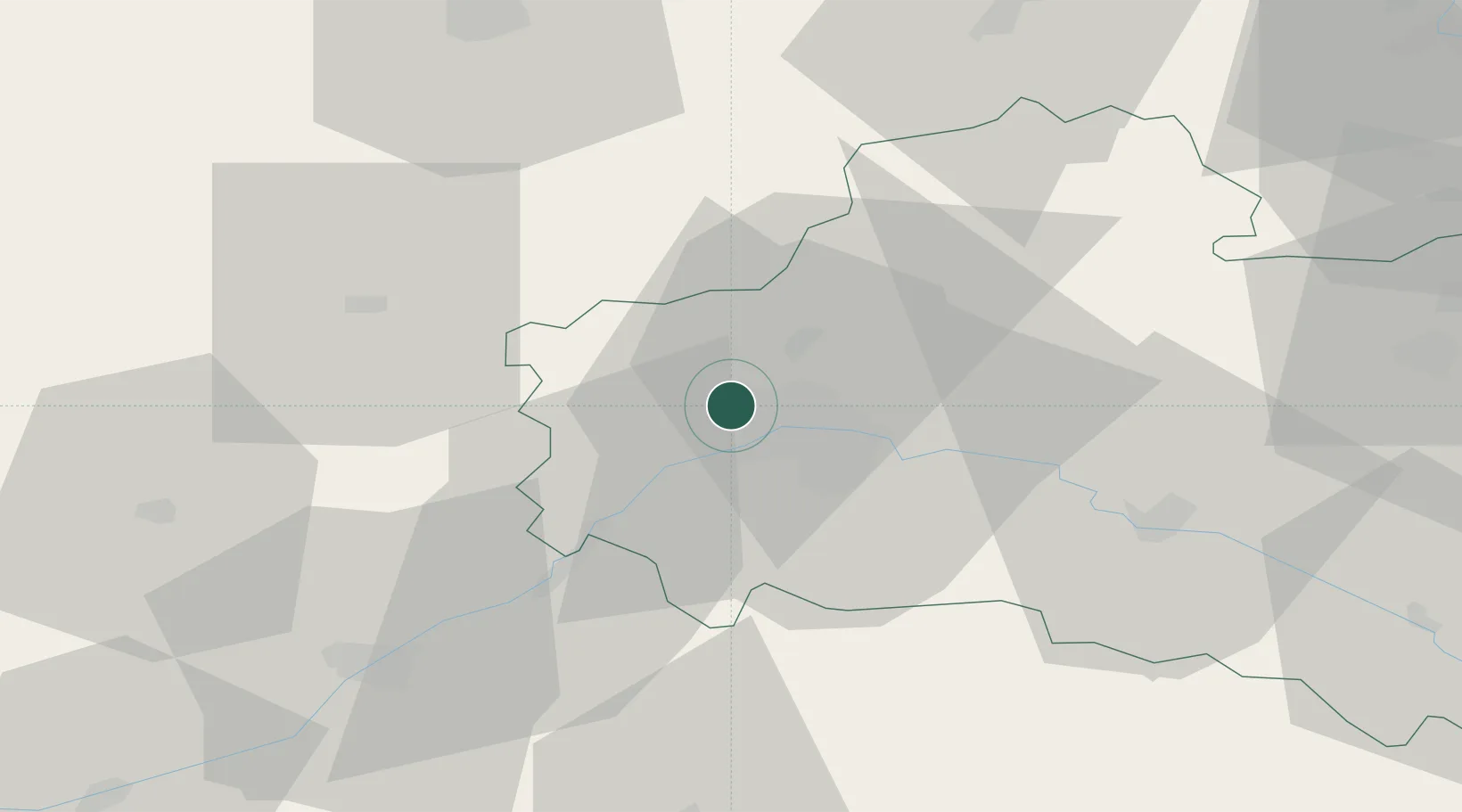
Place type
Populated place
Region
Centre-Val de Loire
Population
3,219
Time zone
Europe/Paris
Elevation
117 m
Location
Nearby Logistics Neighbours
Cities
- 1Orléans7 km
- 2Mareau-aux-Prés8 km
- 3Olivet10 km
- 4Sougy13 km
- 5Cléry-Saint-André14 km
Ports
- 1Port Of Rouen177 km
- 2Honfleur203 km
- 3Deauville204 km
- 4Port De Caen212 km
- 5Port Of Le Havre213 km
Airports
Trade Zones
- 1ZFU Orléans7 km
- 2ZFU Blois57 km
- 3ZFU Corbeil-Evry87 km
- 4ZFU Melun91 km
- 5ZFU Grigny Viry-Châtillon92 km
DatabookThe Record of Consolidated Knowledge
France beyond logistics?