Medium airport · France
Orléans-Bricy (BA 123) Air BaseLFOJ
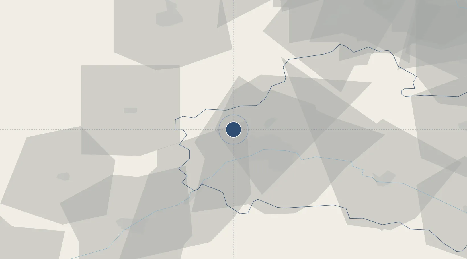
47.9878°, 1.7606°
7,887 ft
Longest runway
1
Runways
412 ft
Elevation
Runway & Layout

Radio Frequencies
TWR
122.1 MHz
GND
122.1 MHz
APP
122.7 MHz
Navaids
OAN TACAN Orléans 116.40 MHz
OAN NDB Orléans 385 kHz
Runways · 1
| Runway | Dimensions | Surface | True heading | Lit |
|---|---|---|---|---|
| 07/25 | 7,887 × 148ft | Asphalt | 069° | ✓ |
Airport Specifications
ICAO code
LFOJ
Airport class
Medium airport
Scheduled service
No
Runway surface
Asphalt
Served city
Boulay-les-Barres, Loiret
Location
Nearby Logistics Neighbours
Airports
- 1Châteaudun Airfield29 km
- 2Toussus-le-Noble Airport89 km
- 3Vélizy-Villacoublay Air Base93 km
- 4Paris-Orly Airport94 km
- 5Melun-Villaroche Airfield96 km
Cities
- 1Sougy7 km
- 2Ormes7 km
- 3Mareau-aux-Prés14 km
- 4Artenay14 km
- 5Orléans14 km
Ports
- 1Port Of Rouen170 km
- 2Honfleur195 km
- 3Deauville197 km
- 4Port De Caen204 km
- 5Port Of Le Havre205 km
Trade Zones
- 1ZFU Orléans14 km
- 2ZFU Blois58 km
- 3ZFU Corbeil-Evry84 km
- 4ZFU Grigny Viry-Châtillon89 km
- 5ZFU Dreux et Sainte-Gemme-Moronval89 km
DatabookThe Record of Consolidated Knowledge
France beyond logistics?