Transport Functions
Rail
Road
Airport
Hub Profile
Place type
Regional capital
Region
Centre-Val de Loire
Population
116,344
Time zone
Europe/Paris
Elevation
115 m
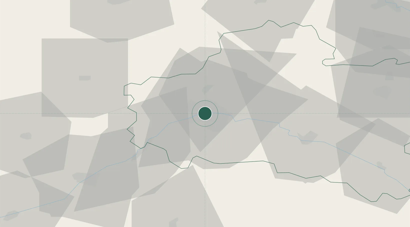
Location
Nearby Logistics Neighbours
Cities
- 1Olivet4 km
- 2Ormes7 km
- 3Mareau-aux-Prés10 km
- 4Sandillon11 km
- 5Cléry-Saint-André15 km
Ports
- 1Port Of Rouen183 km
- 2Honfleur209 km
- 3Deauville211 km
- 4Port De Caen219 km
- 5Port Of Le Havre219 km
Airports
- 1Orléans-Bricy (BA 123) Air Base14 km
- 2Châteaudun Airfield43 km
- 3Toussus-le-Noble Airport96 km
- 4Melun-Villaroche Airfield97 km
- 5Paris-Orly Airport98 km
Trade Zones
- 1ZFU Orléans5 km
- 2ZFU Blois59 km
- 3ZFU Corbeil-Evry87 km
- 4ZFU Melun90 km
- 5ZFU Grigny Viry-Châtillon93 km
DatabookThe Record of Consolidated Knowledge
France beyond logistics?