Economic Revitalization Project · France

ZFU Grigny Viry-Châtillon Active
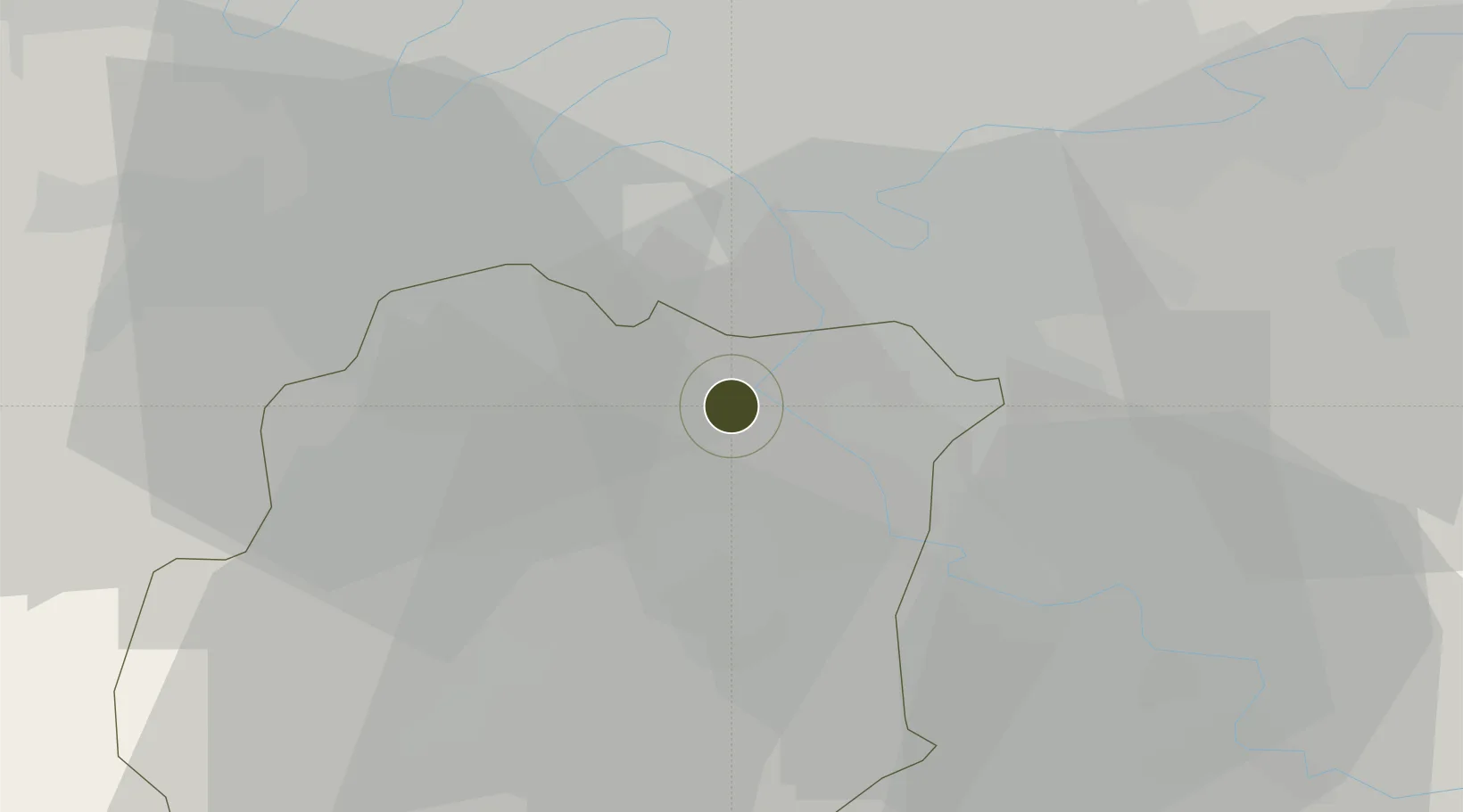
48.6713°, 2.3750°
313 ha
Zone area
128.8 km
Nearest port
5.8 km
Nearest airport

Gateway access

Nearest neighbours — logibook spatial index (haversine) over the source coordinates

Zone profile

Zone type
Economic Revitalization Project
Open Zone Map
Region
Essonne
Open Zone Map
Status
Active
Open Zone Map
Management
Public
Open Zone Map
Operator
Viry-Chatillon
Open Zone Map
Legal framework
Décret no 65-939 du 8 novembre 1965, Décret du 9 Octobre 2008
Open Zone Map

Location

Location of ozm-2012
Natural Earth 10m (public domain) · Essonne · ozm-2012 · 48.67, 2.37GoogleOSMYandex

Nearby Logistics Neighbours

Ports
  1. 1Port Of Rouen129 km
  2. 2Dieppe169 km
  3. 3Le Treport172 km
  4. 4Saint-Valery-Sur-Somme177 km
  5. 5Honfleur178 km
Nearest neighbours — logibook spatial index (haversine) over the source coordinates
Airports
  1. 1Paris-Orly Airport6 km
  2. 2Vélizy-Villacoublay Air Base17 km
  3. 3Toussus-le-Noble Airport22 km
  4. 4Melun-Villaroche Airfield23 km
  5. 5Paris-Le Bourget International Airport33 km
Nearest neighbours — logibook spatial index (haversine) over the source coordinates
Cities
  1. 1Juvisy-sur-Orge2 km
  2. 2Savigny-sur-Orge2 km
  3. 3Grigny3 km
  4. 4Épinay-sur-Orge3 km
  5. 5Draveil3 km
Nearest neighbours — logibook spatial index (haversine) over the source coordinates
Trade Zones
  1. 1ZFU Corbeil-Evry9 km
  2. 2ZFU Epinay-sous-Sénart9 km
  3. 3ZFU Choisy-le-Roi et Orly10 km
  4. 4ZFU Vitry-sur-Seine13 km
  5. 5ZFU Champigny-sur-Marne et Chennevières-sur-Marne18 km
Nearest neighbours — logibook spatial index (haversine) over the source coordinates
DatabookThe Record of Consolidated Knowledge
France beyond logistics?
Browse databook

All Sources

Trade ZonesOpen Zone Map
CC BY
Portsthe NGA World Port Index
Public domain (US gov)
AirportsOurAirports
Public domain
LocationsUN/LOCODE
UN/LOCODE — free
← France trade zones