Transport Functions
Multimodal
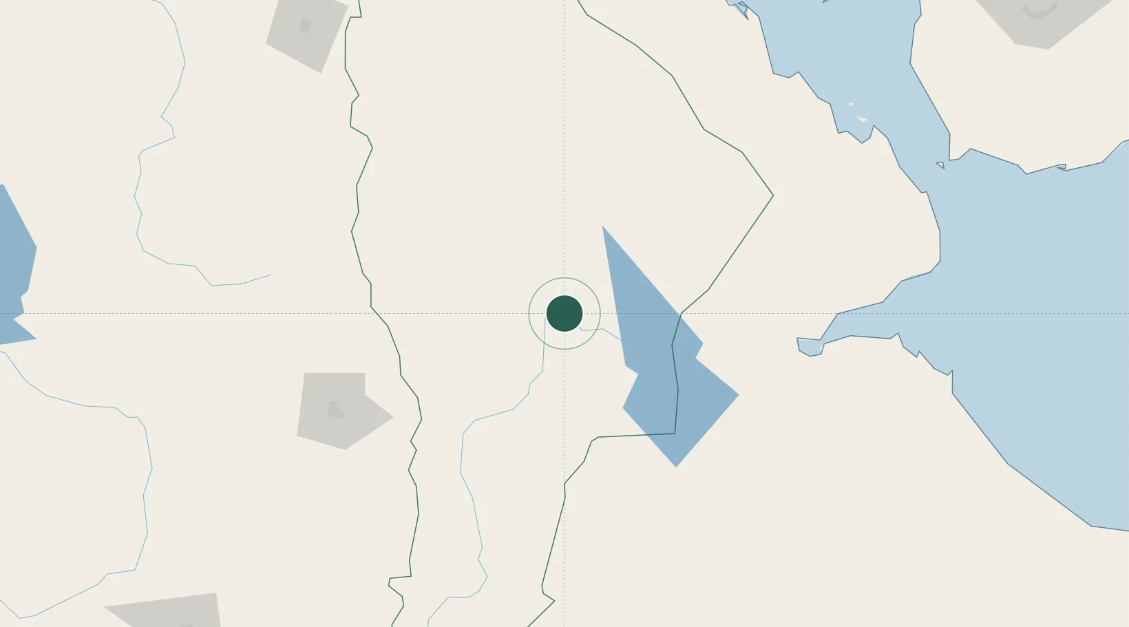
Hub Profile
Place type
Populated place
Region
Āfar
Population
36,100
Time zone
Africa/Addis_Ababa
Elevation
381 m
Location
Nearby Logistics Neighbours
Cities
- 1Djibouti220 km
- 2Djibouti224 km
- 3Camp Lemonier224 km
- 4Assab228 km
- 5Damerjog230 km
Airports
- 1Semera Airport12 km
- 2Kombolcha Airport163 km
- 3Assab International Airport226 km
- 4Djibouti-Ambouli Airport227 km
- 5Aba Tenna Dejazmach Yilma International Airport249 km
Trade Zones
- 1Kombolcha Industrial Development Zone167 km
- 2UKAB Holdings Free Zone216 km
- 3Touchroad Djibouti Special Economic Zone222 km
- 4Djibouti Free Zone224 km
- 5Assab Free Trade Zone227 km
DatabookThe Record of Consolidated Knowledge
Ethiopia beyond logistics?