Medium airport · Ecuador

Chachoán Regional AirportSEAM
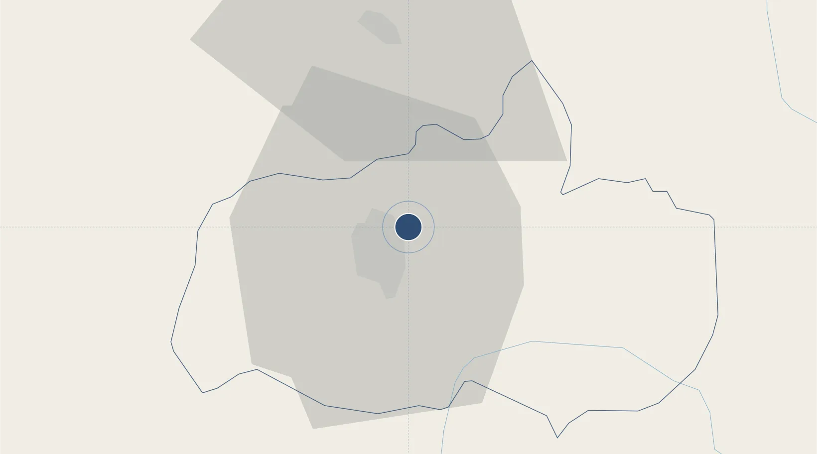
-1.2121°, -78.5746°
6,316 ft
Longest runway
1
Runways
8,502 ft
Elevation

Runway & Layout

Chachoán Regional Airport runway & taxiway layout
Runway & taxiway layout — OpenStreetMap (ODbL) / OurAirports

Radio Frequencies

TWR
118.2 MHz
AMBATO TWR
OurAirports

Navaids

AMB NDB Ambato 360 kHz
AMV VOR-DME Ambato 112.70 MHz
OurAirports

Runways · 1

RunwayDimensions SurfaceTrue headingLit
01/19 6,316 × 82ft Asphalt 010°
OurAirports

Airport Specifications

IATA code
ATF
OurAirports
ICAO code
SEAM
OurAirports
Airport class
Medium airport
OurAirports
Scheduled service
No
OurAirports
Runway surface
Asphalt
OurAirports
Served city
Ambato
OurAirports

Location

Location of SEAM
Natural Earth 10m (public domain) · Napo · SEAM · -1.21, -78.57GoogleOSMYandex

Nearby Logistics Neighbours

Airports
  1. 1Cotopaxi International Airport34 km
  2. 2Jumandy Airport112 km
  3. 3Mariscal Sucre International Airport123 km
  4. 4Coronel E Carvajal Airport131 km
  5. 5José Joaquín de Olmedo International Airport180 km
Nearest neighbours — logibook spatial index (haversine) over the source coordinates
Cities
  1. 1Pelileo13 km
  2. 2Tisaleo18 km
  3. 3El Triunfo22 km
  4. 4Guano42 km
  5. 5Machachi79 km
Nearest neighbours — logibook spatial index (haversine) over the source coordinates
Ports
  1. 1Guayaquil182 km
  2. 2Puerto Maritimo De Guayaquil189 km
  3. 3Manta240 km
  4. 4Esmeraldas274 km
  5. 5Puerto Bolivar278 km
Nearest neighbours — logibook spatial index (haversine) over the source coordinates
Trade Zones
  1. 1Zona Franca Millestonecorp116 km
  2. 2Metrozona Quito120 km
  3. 3Corpaq Tabalela (Quiport)123 km
  4. 4Zona Franca Mitad del Mundo136 km
  5. 5Zona Franca Esmeraldas183 km
Nearest neighbours — logibook spatial index (haversine) over the source coordinates
DatabookThe Record of Consolidated Knowledge
Ecuador beyond logistics?
Browse databook

All Sources

AirportsOurAirports
Public domain
Portsthe NGA World Port Index
Public domain (US gov)
LocationsUN/LOCODE
UN/LOCODE — free
Trade Zonesthe World Bank SEZ database
CC BY 4.0
Trade ZonesOpen Zone Map
CC BY
InfrastructureOpenStreetMap
ODbL 1.0
← Ecuador airports