Transport Functions
Road
Multimodal
Hub Profile
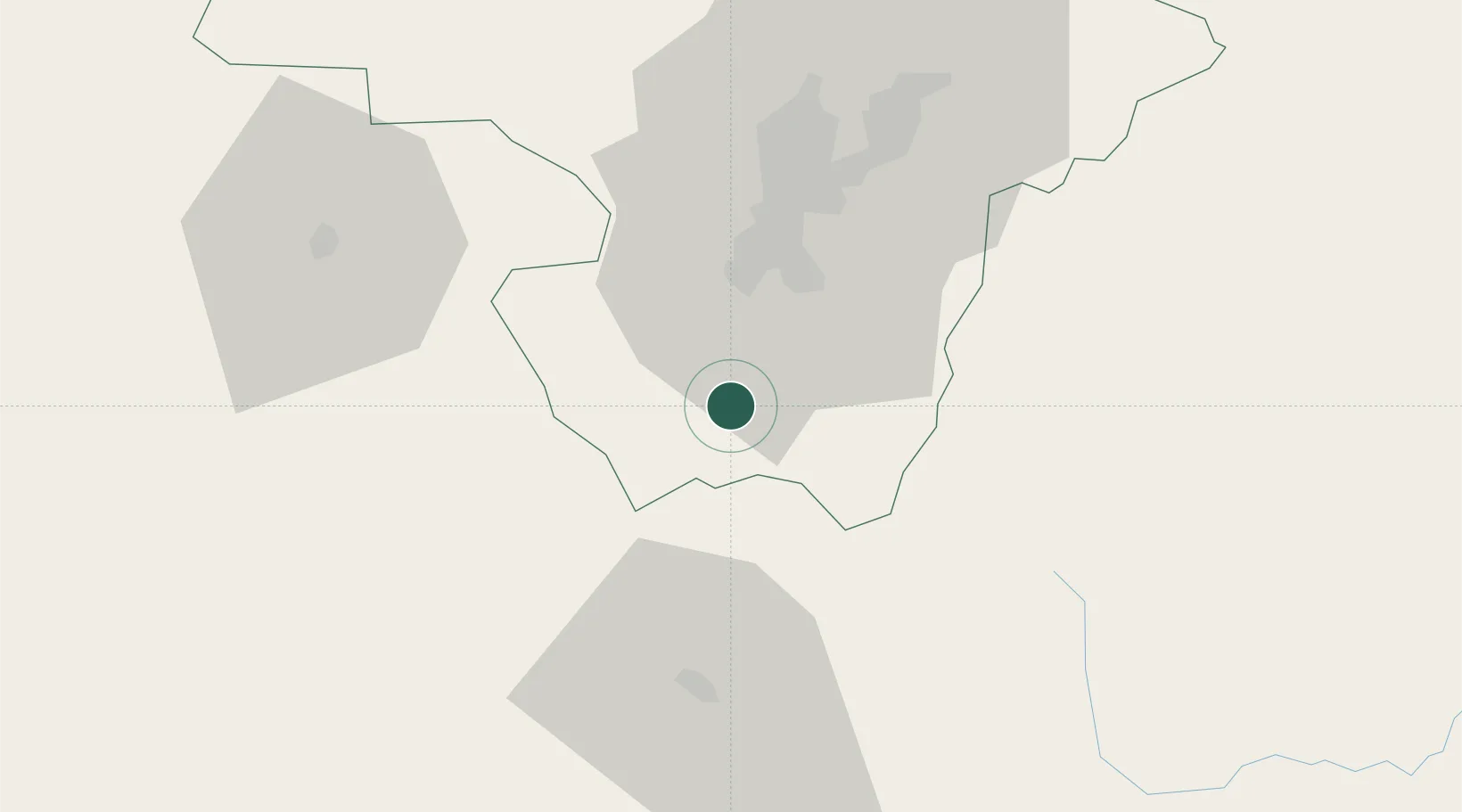
Place type
Provincial seat
Region
Pichincha
Population
25,742
Time zone
America/Guayaquil
Elevation
2,905 m
Location
Nearby Logistics Neighbours
Cities
- 1Ruminahui32 km
- 2Santo Domingo72 km
- 3El Triunfo91 km
- 4Pelileo91 km
- 5Cotacachi95 km
Ports
- 1Esmeraldas206 km
- 2Guayaquil239 km
- 3Manta244 km
- 4Puerto Maritimo De Guayaquil248 km
- 5Tumaco258 km
Airports
Trade Zones
- 1Zona Franca Millestonecorp38 km
- 2Metrozona Quito46 km
- 3Corpaq Tabalela (Quiport)48 km
- 4Zona Franca Mitad del Mundo57 km
- 5Zona Franca Esmeraldas239 km
DatabookThe Record of Consolidated Knowledge
Ecuador beyond logistics?