Transport Functions
Rail
Hub Profile
Place type
Urban district
Region
Guayas
Time zone
America/Guayaquil
Elevation
17 m
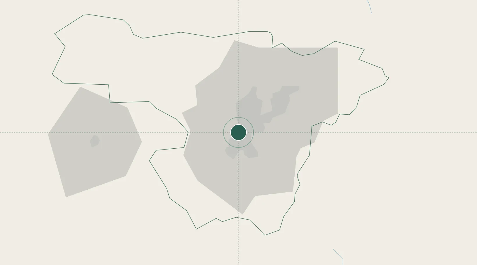
Location
Nearby Logistics Neighbours
Cities
- 1Machachi32 km
- 2Cotacachi64 km
- 3Santo Domingo72 km
- 4El Carmen102 km
- 5Tena115 km
Ports
- 1Esmeraldas185 km
- 2Tumaco228 km
- 3Manta258 km
- 4Guayaquil268 km
- 5Puerto Maritimo De Guayaquil277 km
Airports
Trade Zones
- 1Zona Franca Millestonecorp6 km
- 2Metrozona Quito20 km
- 3Corpaq Tabalela (Quiport)20 km
- 4Zona Franca Mitad del Mundo25 km
- 5Zona Franca Manabí257 km
DatabookThe Record of Consolidated Knowledge
Ecuador beyond logistics?