Medium airport · Ecuador
Cotopaxi International AirportSELT
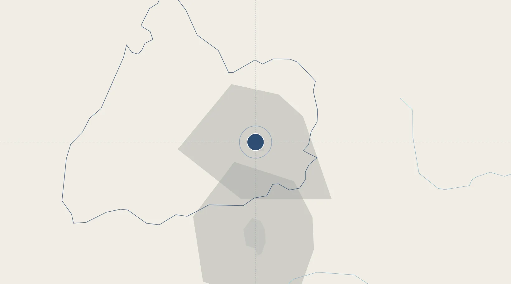
-0.9068°, -78.6158°
12,117 ft
Longest runway
1
Runways
9,205 ft
Elevation
Runway & Layout

Radio Frequencies
GND
121.9 MHz
LATACUNGA GND
APP
118.5 MHz
LATACUNGA APP/TWR
Navaids
LTV VOR-DME Latacunga 117.10 MHz
Runways · 1
| Runway | Dimensions | Surface | True heading | Lit |
|---|---|---|---|---|
| 18/36 | 12,117 × 148ft | Asphalt | 184° | ✓ |
Airport Specifications
IATA code
LTX
ICAO code
SELT
Airport class
Medium airport
Scheduled service
Yes
Runway surface
Asphalt
Served city
Latacunga
Location
Nearby Logistics Neighbours
Airports
- 1Chachoán Regional Airport34 km
- 2Mariscal Sucre International Airport92 km
- 3Jumandy Airport116 km
- 4Coronel E Carvajal Airport164 km
- 5Francisco De Orellana Airport188 km
Cities
- 1Machachi46 km
- 2Pelileo47 km
- 3Tisaleo50 km
- 4El Triunfo50 km
- 5Guano75 km
Ports
- 1Guayaquil201 km
- 2Puerto Maritimo De Guayaquil209 km
- 3Manta234 km
- 4Esmeraldas241 km
- 5La Libertad294 km
Trade Zones
- 1Zona Franca Millestonecorp83 km
- 2Metrozona Quito89 km
- 3Corpaq Tabalela (Quiport)92 km
- 4Zona Franca Mitad del Mundo102 km
- 5Zona Franca Esmeraldas202 km
DatabookThe Record of Consolidated Knowledge
Ecuador beyond logistics?