Transport Functions
Multimodal
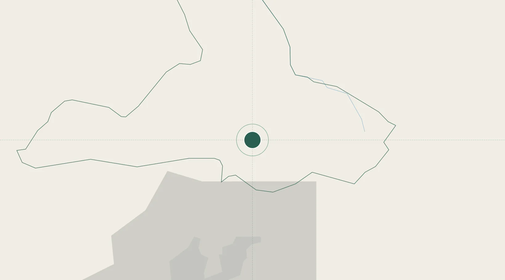
Hub Profile
Place type
Provincial seat
Region
Imbabura
Population
8,238
Time zone
America/Guayaquil
Elevation
2,385 m
Location
Nearby Logistics Neighbours
Cities
- 1Ruminahui64 km
- 2Machachi95 km
- 3Santo Domingo117 km
- 4San Lorenzo123 km
- 5Quininde134 km
Ports
- 1Esmeraldas172 km
- 2Tumaco177 km
- 3Manta306 km
- 4Guayaquil331 km
- 5Puerto Maritimo De Guayaquil340 km
Airports
Trade Zones
- 1Zona Franca Mitad del Mundo42 km
- 2Corpaq Tabalela (Quiport)48 km
- 3Metrozona Quito51 km
- 4Zona Franca Millestonecorp58 km
- 5Zona Franca Manabí305 km
DatabookThe Record of Consolidated Knowledge
Ecuador beyond logistics?