Medium airport · Ecuador
Jumandy AirportSEJD
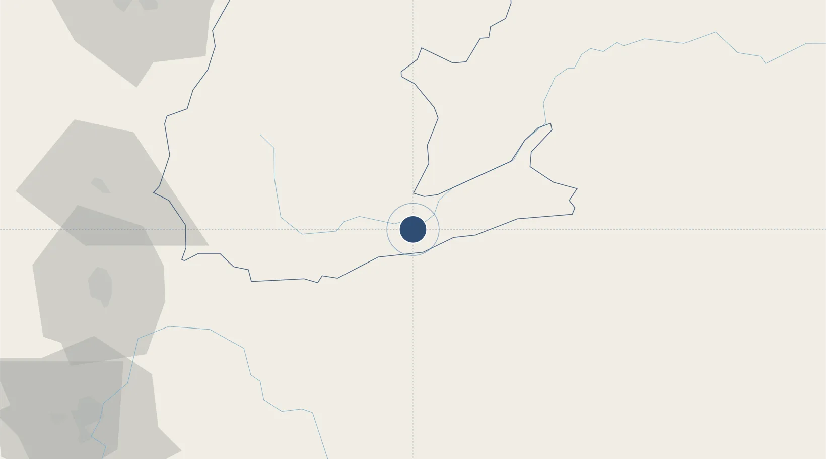
-1.0602°, -77.5805°
8,202 ft
Longest runway
1
Runways
1,234 ft
Elevation
Runway & Layout

Runways · 1
| Runway | Dimensions | Surface | True heading | Lit |
|---|---|---|---|---|
| 09/27 | 8,202 × 148ft | Asphalt | — | — |
Airport Specifications
IATA code
TNW
ICAO code
SEJD
Airport class
Medium airport
Scheduled service
No
Runway surface
Asphalt
Served city
Ahuano
Location
Nearby Logistics Neighbours
Airports
Cities
- 1Tena28 km
- 2Coca94 km
- 3El Triunfo95 km
- 4Pelileo110 km
- 5Tisaleo125 km
Ports
- 1Guayaquil286 km
- 2Puerto Maritimo De Guayaquil292 km
- 3Esmeraldas325 km
- 4Tumaco345 km
- 5Manta349 km
Trade Zones
- 1Metrozona Quito132 km
- 2Corpaq Tabalela (Quiport)136 km
- 3Zona Franca Millestonecorp141 km
- 4Zona Franca Mitad del Mundo156 km
- 5Zona Franca Esmeraldas288 km
DatabookThe Record of Consolidated Knowledge
Ecuador beyond logistics?