Transport Functions
Multimodal
Hub Profile
Place type
Populated place
Region
Ústecký kraj
Population
1,353
Time zone
Europe/Prague
Elevation
281 m
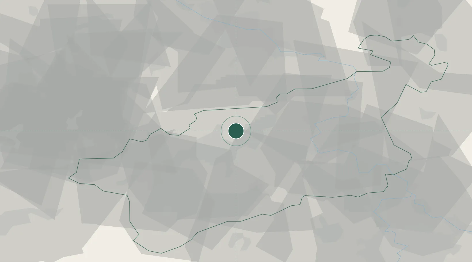
Location
Nearby Logistics Neighbours
Cities
- 1Bílina9 km
- 2Rtyne nad Bílinou11 km
- 3Sezemice14 km
- 4Deutscheinsiedel15 km
- 5Neuhausen17 km
Ports
- 1Szczecin317 km
- 2Police333 km
- 3Swinoujscie369 km
- 4Wolgast382 km
- 5Wismar395 km
Airports
- 1Dresden Airport58 km
- 2Vodochody Airport66 km
- 3Václav Havel Airport Prague70 km
- 4Karlovy Vary Airport72 km
- 5Prague–Kbely Air Base81 km
Trade Zones
DatabookThe Record of Consolidated Knowledge
Czechia beyond logistics?