Medium airport · Congo - Kinshasa
Ndolo AirportFZAB
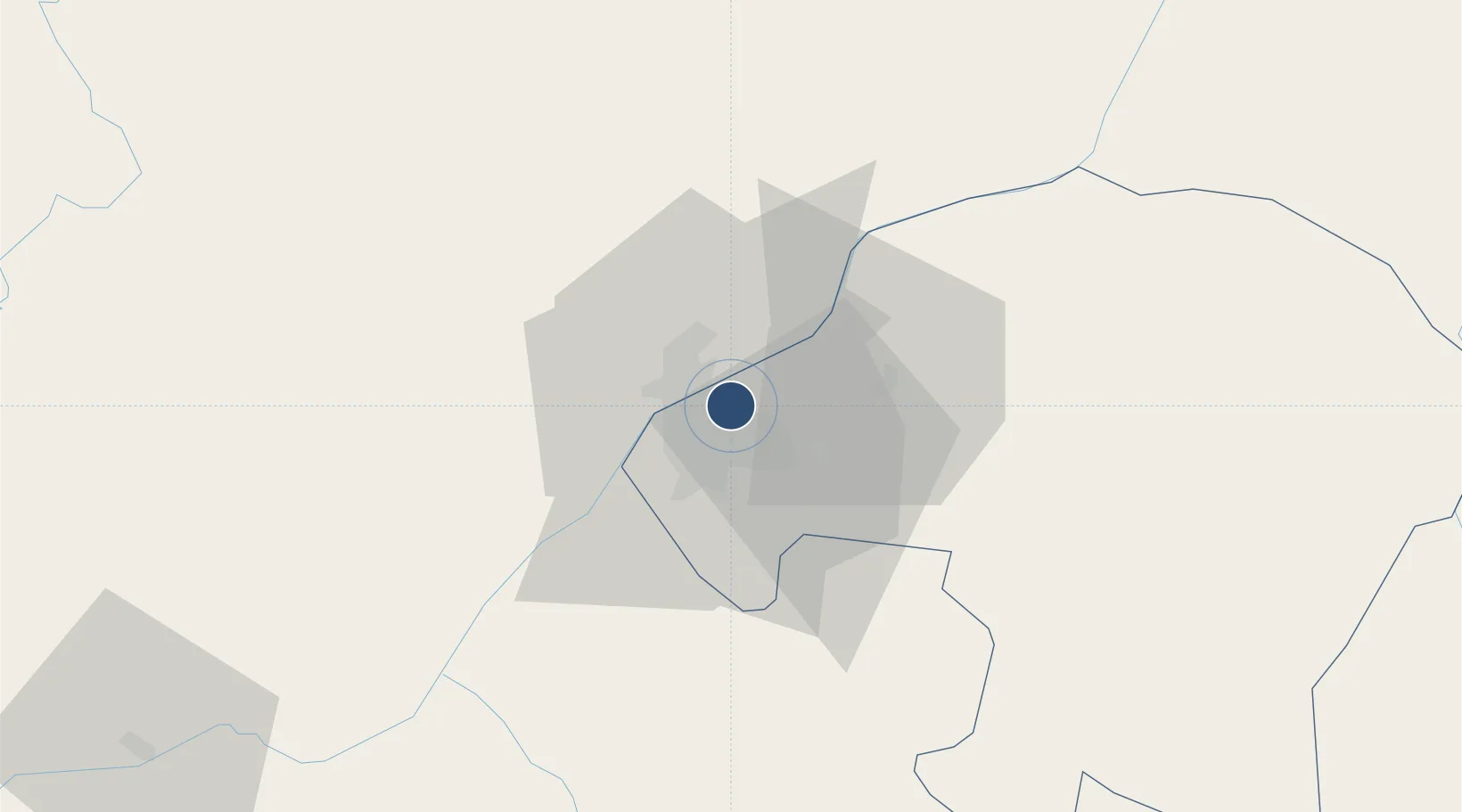
-4.3267°, 15.3275°
5,526 ft
Longest runway
1
Runways
915 ft
Elevation
Runway & Layout

Radio Frequencies
TWR
118.3 MHz
Navaids
NDO NDB Ndolo 318 kHz
Runways · 1
| Runway | Dimensions | Surface | True heading | Lit |
|---|---|---|---|---|
| 08/26 | 5,526 × 98ft | Asphalt | 071° | — |
Airport Specifications
IATA code
NLO
ICAO code
FZAB
Airport class
Medium airport
Scheduled service
No
Runway surface
Asphalt
Served city
N'dolo
Location
Nearby Logistics Neighbours
Airports
- 1Maya-Maya International Airport12 km
- 2Ndjili International Airport15 km
- 3Mbanza Congo Airport247 km
- 4Bandundu Airport254 km
- 5Ngot Nzoungou Airport296 km
Ports
- 1Matadi266 km
- 2Boma304 km
- 3Futila Terminal370 km
- 4Cabinda372 km
- 5Banana375 km
Trade Zones
DatabookThe Record of Consolidated Knowledge
Congo - Kinshasa beyond logistics?