Large airport · Congo - Kinshasa

Ndjili International AirportFZAA
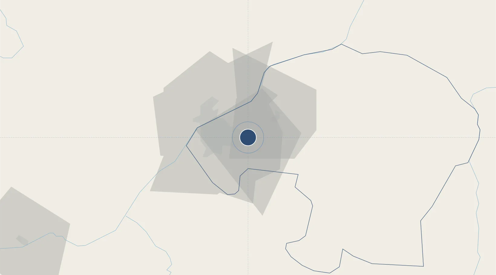
-4.3857°, 15.4446°
13,123 ft
Longest runway
1
Runways
1,027 ft
Elevation

Runway & Layout

Ndjili International Airport runway & taxiway layout
Runway & taxiway layout — OpenStreetMap (ODbL) / OurAirports

Radio Frequencies

TWR
118.1 MHz
GND
121.9 MHz
APP
119.7 MHz
A/G
128.1 MHz
OurAirports

Navaids

KSA VOR-DME Ndjili 115.00 MHz
OK NDB Ndjili 340 kHz
OurAirports

Runways · 1

RunwayDimensions SurfaceTrue headingLit
06/24 13,123 × 197ft Concrete 058°
OurAirports

Airport Specifications

IATA code
FIH
OurAirports
ICAO code
FZAA
OurAirports
Airport class
Large airport
OurAirports
Scheduled service
Yes
OurAirports
Runway surface
Concrete
OurAirports
Served city
Kinshasa
OurAirports

Location

Location of FZAA
Natural Earth 10m (public domain) · Kinshasa City · FZAA · -4.39, 15.44GoogleOSMYandex

Nearby Logistics Neighbours

Airports
  1. 1Ndolo Airport15 km
  2. 2Maya-Maya International Airport26 km
  3. 3Bandundu Airport246 km
  4. 4Mbanza Congo Airport248 km
  5. 5Ngot Nzoungou Airport309 km
Nearest neighbours — logibook spatial index (haversine) over the source coordinates
Cities
  1. 1Kinshasa13 km
  2. 2Matadi273 km
  3. 3Nóqui276 km
  4. 4Dolisie309 km
  5. 5Boma311 km
Nearest neighbours — logibook spatial index (haversine) over the source coordinates
Ports
  1. 1Matadi272 km
  2. 2Boma311 km
  3. 3Futila Terminal380 km
  4. 4Cabinda381 km
  5. 5Banana383 km
Nearest neighbours — logibook spatial index (haversine) over the source coordinates
Trade Zones
  1. 1Maluku Special Economic Zone34 km
  2. 2Brazzaville Special Economic Zone47 km
  3. 3Boumango Special Economic Zone315 km
  4. 4Oyo-Ollombo Special Economic Zone358 km
  5. 5Fútila Industrial Development Pole376 km
Nearest neighbours — logibook spatial index (haversine) over the source coordinates
DatabookThe Record of Consolidated Knowledge
Congo - Kinshasa beyond logistics?
Browse databook

All Sources

AirportsOurAirports
Public domain
Portsthe NGA World Port Index
Public domain (US gov)
LocationsUN/LOCODE
UN/LOCODE — free
Trade Zonesthe World Bank SEZ database
CC BY 4.0
Trade ZonesOpen Zone Map
CC BY
InfrastructureOpenStreetMap
ODbL 1.0
← Congo - Kinshasa airports