UN/LOCODE hub · Congo - Brazzaville
CGDOL
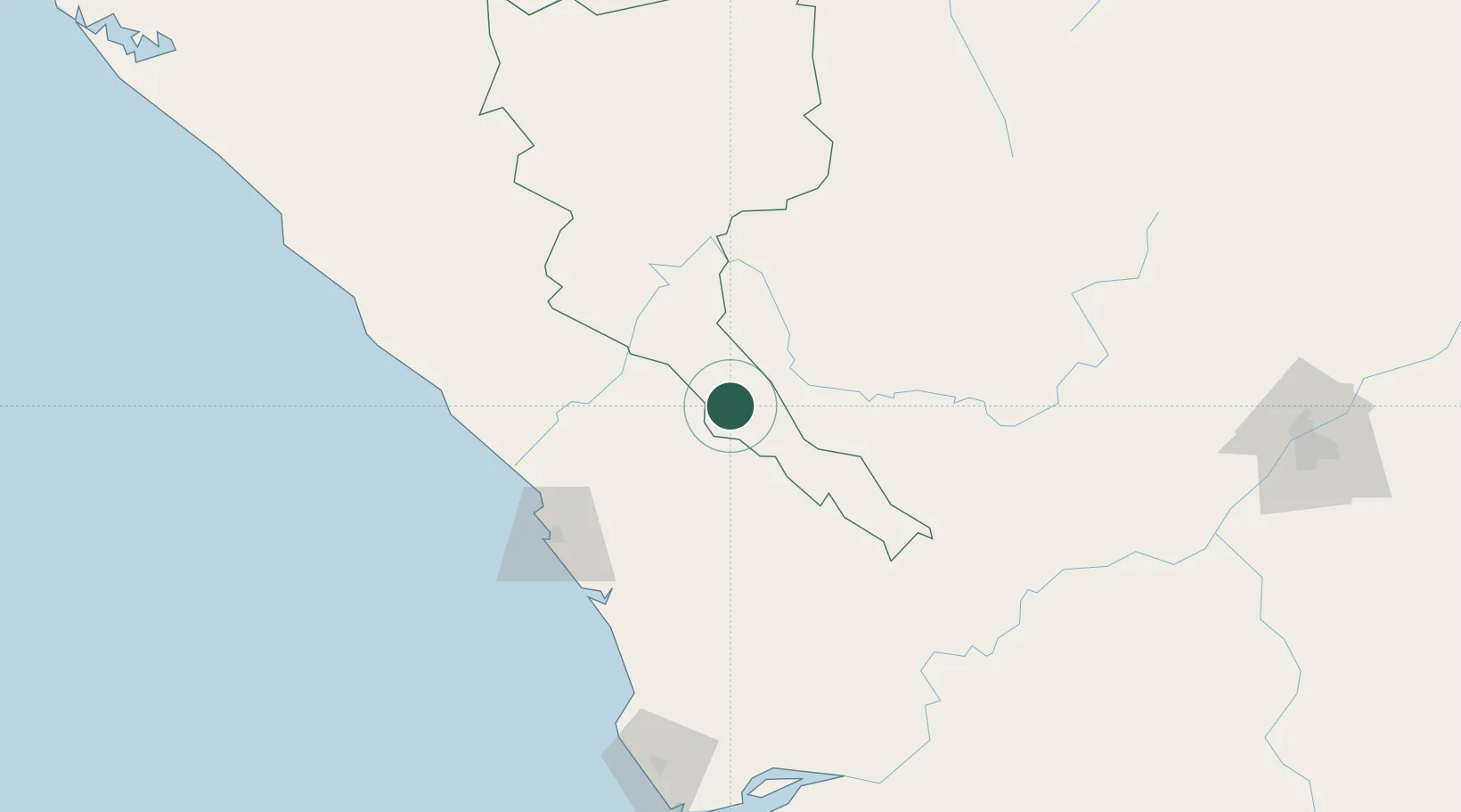
Dolisie
-4.1833°, 12.6667°
121,000
Population
1
Transport functions
Transport Functions
Multimodal
Hub Profile
Place type
Regional capital
Region
Niari
Population
121,000
Time zone
Africa/Brazzaville
Elevation
332 m
Location
Nearby Logistics Neighbours
Cities
- 1Pointe Noire114 km
- 2Yombo139 km
- 3Futila Terminal151 km
- 4Cabinda160 km
- 5Kuito Terminal191 km
Ports
- 1Pointe Noire114 km
- 2Djeno Terminal119 km
- 3Futila Terminal151 km
- 4Takula Terminal151 km
- 5Malongo Oil Terminal153 km
Airports
- 1Ngot Nzoungou Airport3 km
- 2Antonio Agostinho-Neto International Airport112 km
- 3Cabinda Airport166 km
- 4Soyo Airport220 km
- 5Maya-Maya International Airport287 km
Trade Zones
DatabookThe Record of Consolidated Knowledge
Congo - Brazzaville beyond logistics?