UN/LOCODE hub · Congo - Kinshasa
CDFIH
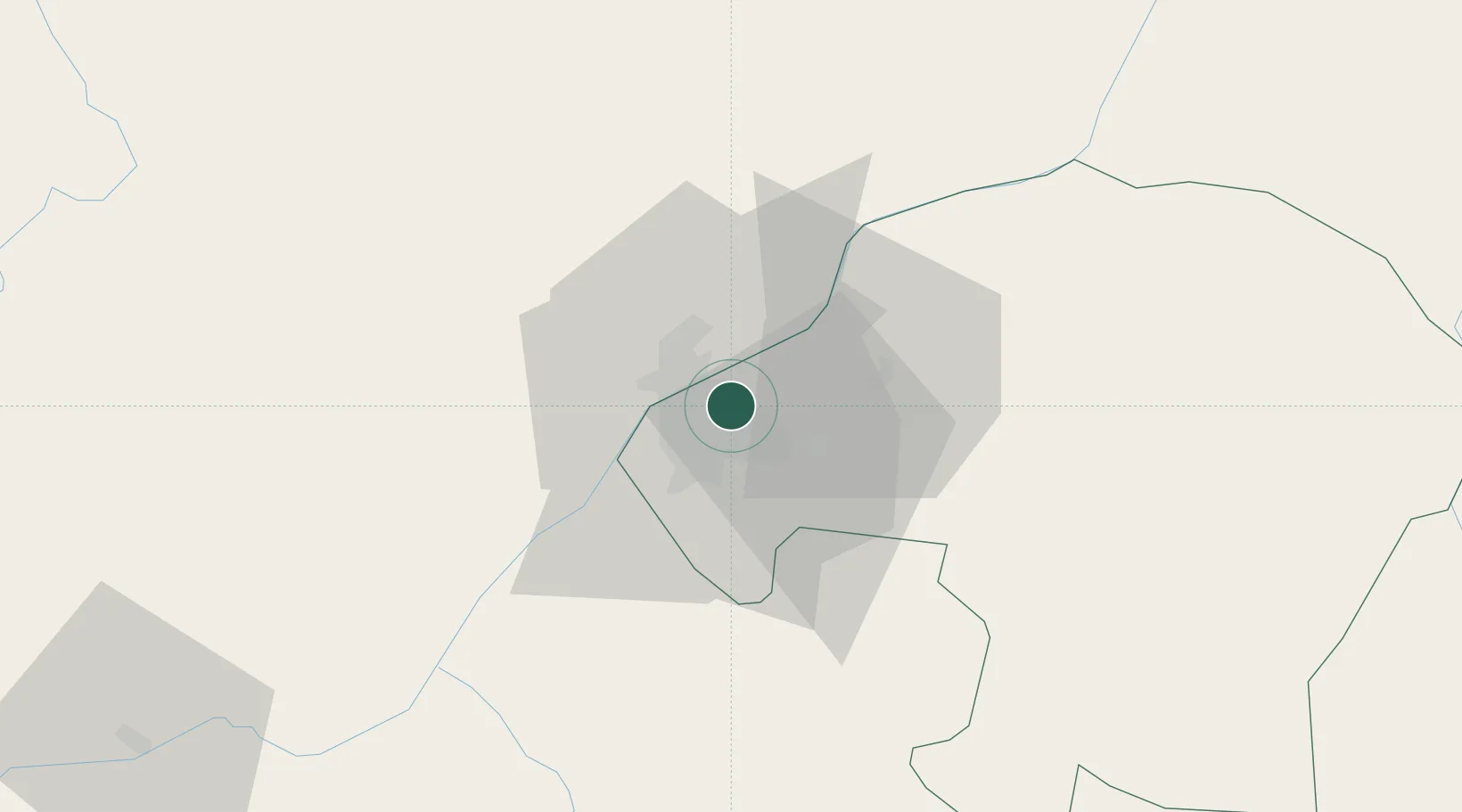
Kinshasa
-4.3384°, 15.3347°
16,000,000
Population
3
Transport functions
Transport Functions
Port
Airport
Postal
Hub Profile
Place type
National capital
Region
Kinshasa
Population
16,000,000
Time zone
Africa/Kinshasa
Elevation
281 m
Logistics facilities
4
Location
Nearby Logistics Neighbours
Ports
- 1Matadi266 km
- 2Boma304 km
- 3Futila Terminal370 km
- 4Cabinda372 km
- 5Banana375 km
Airports
- 1Ndolo Airport2 km
- 2Maya-Maya International Airport13 km
- 3Ndjili International Airport13 km
- 4Mbanza Congo Airport246 km
- 5Bandundu Airport254 km
Trade Zones
DatabookThe Record of Consolidated Knowledge
Congo - Kinshasa beyond logistics?