Diversified Zone · Congo - Brazzaville

Oyo-Ollombo Special Economic Zone Active
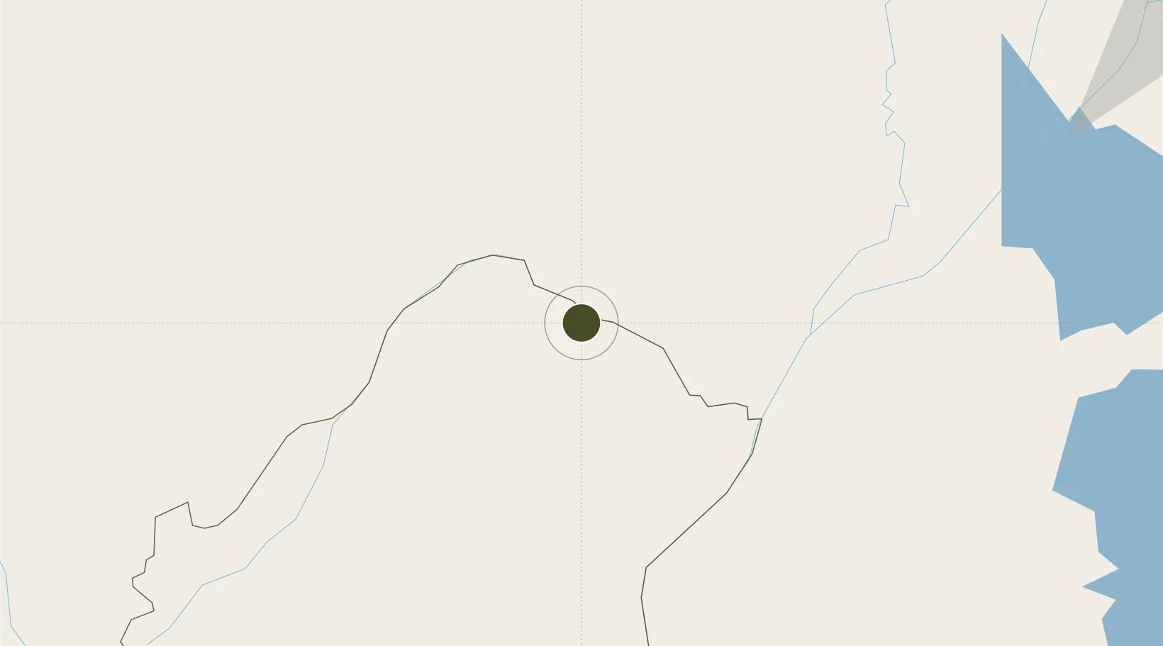
-1.2083°, 15.9369°
760 ha
Zone area
582.0 km
Nearest port
3.6 km
Nearest airport

Gateway access

Nearest neighbours — logibook spatial index (haversine) over the source coordinates

Zone profile

Zone type
Diversified Zone
Open Zone Map
Region
Plateaux
Open Zone Map
Status
Active
Open Zone Map
Management
Public
Open Zone Map
Operator
Ministry of Special Economic Zones
Open Zone Map
Legal framework
Law No. 33-2019 of 14 October 2019
Open Zone Map

Location

Location of ozm-1682
Natural Earth 10m (public domain) · Plateaux · ozm-1682 · -1.21, 15.94GoogleOSMYandex

Nearby Logistics Neighbours

Ports
  1. 1Matadi582 km
  2. 2Pointe Noire605 km
  3. 3Boma607 km
  4. 4Djeno Terminal610 km
  5. 5Futila Terminal629 km
Nearest neighbours — logibook spatial index (haversine) over the source coordinates
Airports
  1. 1Oyo Ollombo Airport4 km
  2. 2Owando Airport76 km
  3. 3Okondja Airport259 km
  4. 4Inongo Airport274 km
  5. 5M'Vengue El Hadj Omar Bongo Ondimba International Airport282 km
Nearest neighbours — logibook spatial index (haversine) over the source coordinates
Cities
  1. 1Mossaka96 km
  2. 2Oyo246 km
  3. 3Kinshasa354 km
  4. 4Mbinda355 km
  5. 5Yombo408 km
Nearest neighbours — logibook spatial index (haversine) over the source coordinates
Trade Zones
  1. 1Boumango Special Economic Zone281 km
  2. 2Ouesso Special Economic Zone313 km
  3. 3Maluku Special Economic Zone324 km
  4. 4Brazzaville Special Economic Zone368 km
  5. 5Pointe-Noire Special Economic Zone605 km
Nearest neighbours — logibook spatial index (haversine) over the source coordinates
DatabookThe Record of Consolidated Knowledge
Congo - Brazzaville beyond logistics?
Browse databook

All Sources

Trade ZonesOpen Zone Map
CC BY
Portsthe NGA World Port Index
Public domain (US gov)
AirportsOurAirports
Public domain
LocationsUN/LOCODE
UN/LOCODE — free
← Congo - Brazzaville trade zones