Specialized Zone · Bangladesh

Bay Economic Zone Active
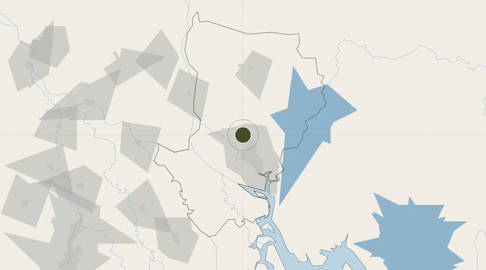
24.0144°, 90.3080°
26 ha
Zone area
186.7 km
Nearest port
21.1 km
Nearest airport

Gateway access

Nearest neighbours — logibook spatial index (haversine) over the source coordinates

Zone profile

Zone type
Specialized Zone
Open Zone Map
Specialization
Textiles
Open Zone Map
Region
Dhaka
Open Zone Map
Status
Active
Open Zone Map
Management
Private
Open Zone Map
Operator
Bay Group of Industries
Open Zone Map
Legal framework
Bangladesh Economic Zones Act: 2010. Bangladesh Private Economic Zones Policy: 2015.
Open Zone Map

Location

Location of ozm-154
Natural Earth 10m (public domain) · Dhaka · ozm-154 · 24.01, 90.31GoogleOSMYandex

Nearby Logistics Neighbours

Ports
  1. 1Mongla187 km
  2. 2Chittagong244 km
  3. 3Calcutta259 km
  4. 4Haldia Port318 km
  5. 5Dhamra494 km
Nearest neighbours — logibook spatial index (haversine) over the source coordinates
Airports
  1. 1Hazrat Shahjalal International Airport21 km
  2. 2Agartala - Maharaja Bir Bikram Airport96 km
  3. 3Ishurdi Airport129 km
  4. 4Barisal Airport135 km
  5. 5Jessore Airport149 km
Nearest neighbours — logibook spatial index (haversine) over the source coordinates
Cities
  1. 1Savar21 km
  2. 2Tejgaon29 km
  3. 3Pangaon43 km
  4. 4Narsingdi43 km
  5. 5Munshiganj53 km
Nearest neighbours — logibook spatial index (haversine) over the source coordinates
Trade Zones
  1. 1Dhaka Export Processing Zone8 km
  2. 2Narsingdi Economic Zone19 km
  3. 3Bashundhara Economic Zone25 km
  4. 4Sreepur Economic Zone26 km
  5. 5United City It Park Ltd. Dhaka26 km
Nearest neighbours — logibook spatial index (haversine) over the source coordinates
DatabookThe Record of Consolidated Knowledge
Bangladesh beyond logistics?
Browse databook

All Sources

Trade ZonesOpen Zone Map
CC BY
Portsthe NGA World Port Index
Public domain (US gov)
AirportsOurAirports
Public domain
LocationsUN/LOCODE
UN/LOCODE — free
← Bangladesh trade zones