Diversified Zone · Bangladesh

Bashundhara Economic Zone Under Development
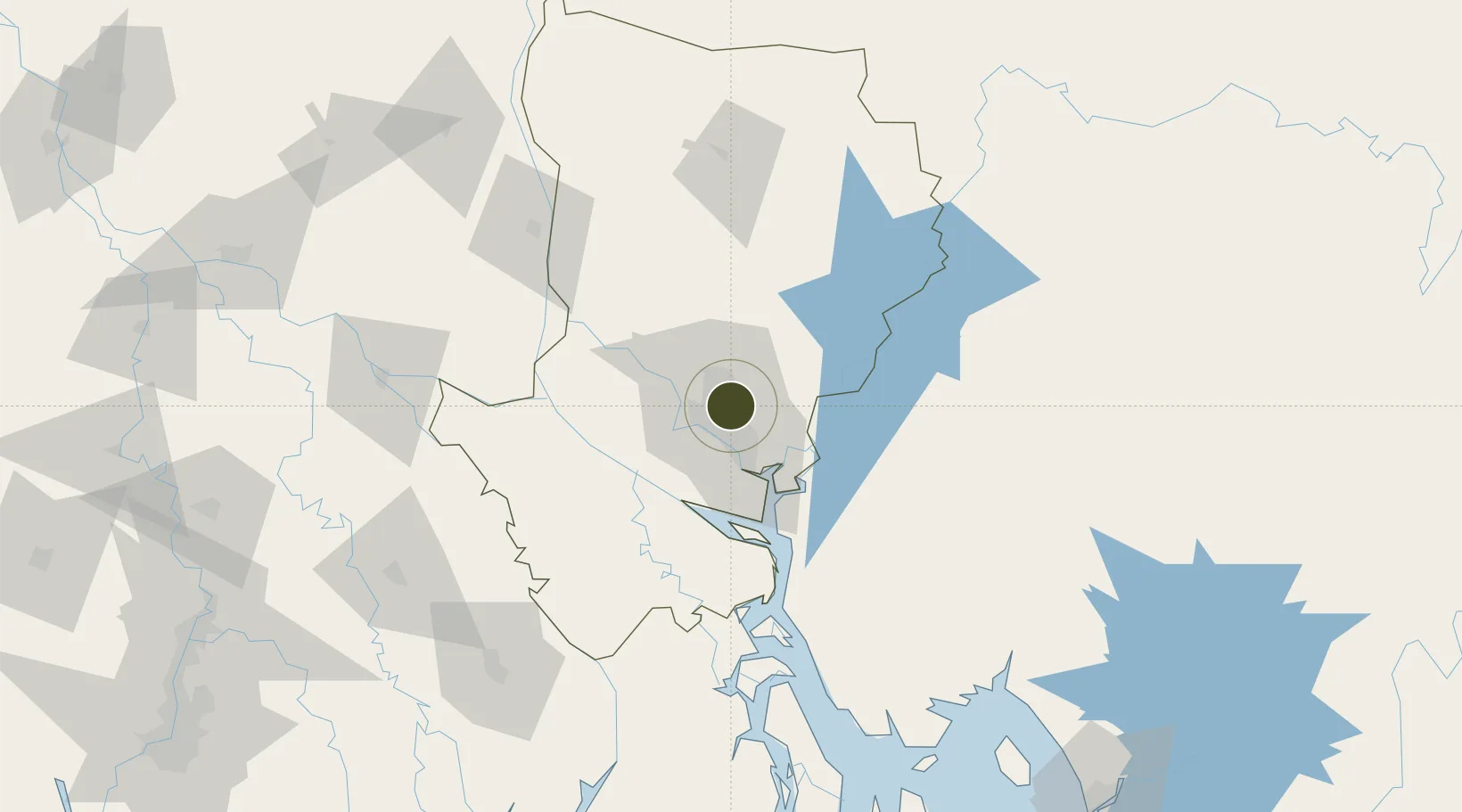
23.8196°, 90.4368°
22 ha
Zone area
173.1 km
Nearest port
4.8 km
Nearest airport

Gateway access

Nearest neighbours — logibook spatial index (haversine) over the source coordinates

Zone profile

Zone type
Diversified Zone
Open Zone Map
Region
Dhaka
Open Zone Map
Status
Under Development
Open Zone Map
Management
Private
Open Zone Map
Operator
Bashundhara Group
Open Zone Map
Legal framework
Bangladesh Economic Zones Act: 2010. Bangladesh Private Economic Zones Policy: 2015.
Open Zone Map

Location

Location of ozm-129
Natural Earth 10m (public domain) · Dhaka · ozm-129 · 23.82, 90.44GoogleOSMYandex

Nearby Logistics Neighbours

Ports
  1. 1Mongla173 km
  2. 2Chittagong219 km
  3. 3Calcutta257 km
  4. 4Haldia Port314 km
  5. 5Sittwe482 km
Nearest neighbours — logibook spatial index (haversine) over the source coordinates
Airports
  1. 1Hazrat Shahjalal International Airport5 km
  2. 2Agartala - Maharaja Bir Bikram Airport82 km
  3. 3Barisal Airport114 km
  4. 4Ishurdi Airport146 km
  5. 5Jessore Airport148 km
Nearest neighbours — logibook spatial index (haversine) over the source coordinates
Cities
  1. 1Tejgaon7 km
  2. 2Pangaon18 km
  3. 3Savar19 km
  4. 4Munshiganj29 km
  5. 5Narayanganj29 km
Nearest neighbours — logibook spatial index (haversine) over the source coordinates
Trade Zones
  1. 1United City It Park Ltd. Dhaka3 km
  2. 2A.K.Khan And Comapny Ltd. Economic Zone5 km
  3. 3East-Coast Group Economic Zone5 km
  4. 4Manikganj Economic Zone13 km
  5. 5Arisha Economic Zone13 km
Nearest neighbours — logibook spatial index (haversine) over the source coordinates
DatabookThe Record of Consolidated Knowledge
Bangladesh beyond logistics?
Browse databook

All Sources

Trade ZonesOpen Zone Map
CC BY
Portsthe NGA World Port Index
Public domain (US gov)
AirportsOurAirports
Public domain
LocationsUN/LOCODE
UN/LOCODE — free
← Bangladesh trade zones