Transport Functions
Port
Road
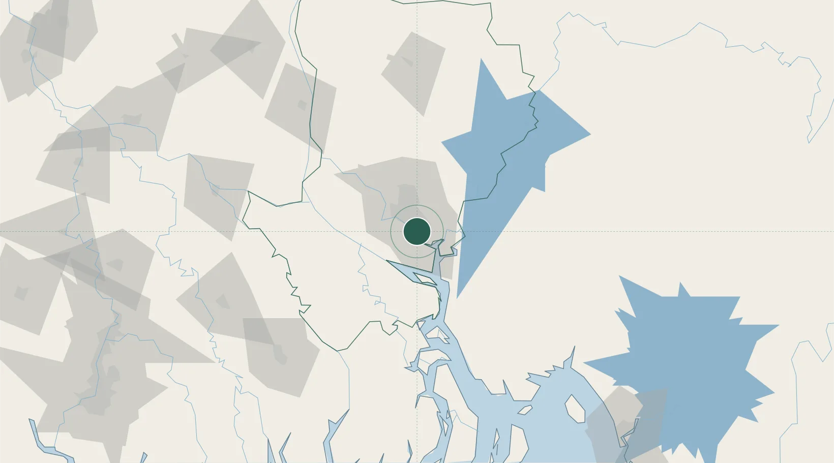
Hub Profile
Place type
Populated place
Region
Dhaka Division
Time zone
Asia/Dhaka
Elevation
10 m
Logistics facilities
1
Location
Nearby Logistics Neighbours
Cities
- 1Panchashar11 km
- 2Munshiganj11 km
- 3Narayanganj11 km
- 4Tejgaon14 km
- 5Savar29 km
Ports
- 1Mongla158 km
- 2Chittagong204 km
- 3Calcutta249 km
- 4Haldia Port304 km
- 5Sittwe466 km
Airports
- 1Hazrat Shahjalal International Airport22 km
- 2Agartala - Maharaja Bir Bikram Airport84 km
- 3Barisal Airport96 km
- 4Jessore Airport142 km
- 5Ishurdi Airport153 km
Trade Zones
DatabookThe Record of Consolidated Knowledge
Bangladesh beyond logistics?