Medium airport · Bangladesh
Barisal AirportVGBR
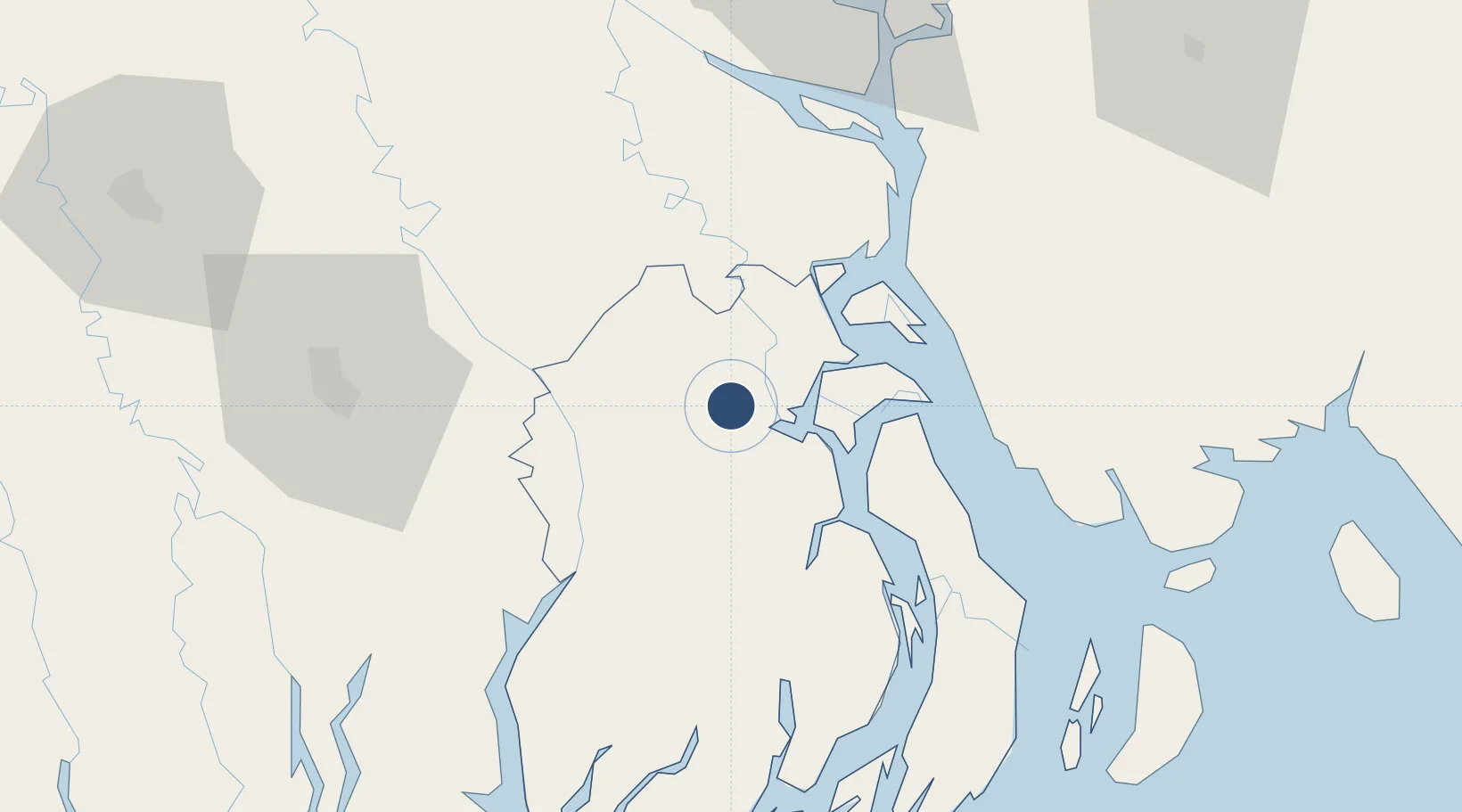
22.8010°, 90.3012°
5,995 ft
Longest runway
1
Runways
23 ft
Elevation
Runway & Layout

Radio Frequencies
TWR
122.9 MHz
Navaids
BL NDB Barisal 368 kHz
Runways · 1
| Runway | Dimensions | Surface | True heading | Lit |
|---|---|---|---|---|
| 17/35 | 5,995 × 100ft | Asphalt | 174° | ✓ |
Airport Specifications
IATA code
BZL
ICAO code
VGBR
Airport class
Medium airport
Scheduled service
Yes
Runway surface
Asphalt
Served city
Barisal
Location
Nearby Logistics Neighbours
Airports
Cities
- 1Mongla81 km
- 2Panchashar88 km
- 3Narayanganj88 km
- 4Munshiganj88 km
- 5Pangaon96 km
Ports
- 1Mongla81 km
- 2Chittagong165 km
- 3Calcutta204 km
- 4Haldia Port244 km
- 5Sittwe400 km
Trade Zones
DatabookThe Record of Consolidated Knowledge
Bangladesh beyond logistics?