Export Processing Zone · Bangladesh

Dhaka Export Processing Zone Active
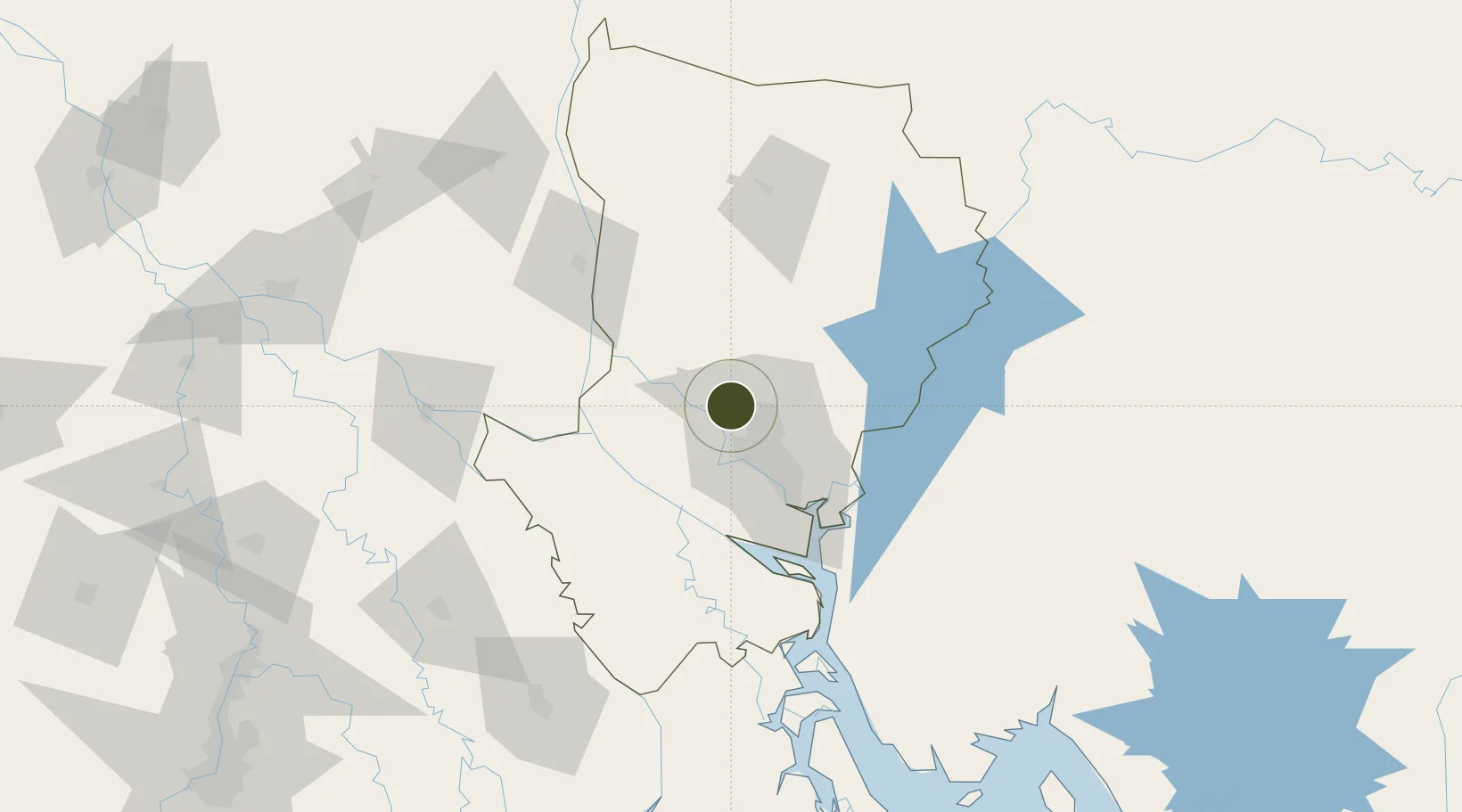
23.9509°, 90.2696°
144 ha
Zone area
178.7 km
Nearest port
17.7 km
Nearest airport

Gateway access

Nearest neighbours — logibook spatial index (haversine) over the source coordinates

Zone profile

Zone type
Export Processing Zone
the World Bank SEZ database
Region
Dhaka
the World Bank SEZ database
Status
Active
the World Bank SEZ database
Established
1993
the World Bank SEZ database
Management
Public agency
the World Bank SEZ database
Operator
BEPZA
the World Bank SEZ database
Regulatory authority
Bangladesh Export Processing Zones Authority (BEPZA)
the World Bank SEZ database
Legal framework
Bangladesh Export Processing Zone Act
the World Bank SEZ database

Location

Location of BGD4
Natural Earth 10m (public domain) · Dhaka · BGD4 · 23.95, 90.27GoogleOSMYandex

Fiscal & incentives

Corporate tax
25%
the World Bank SEZ database
Tax relief
100% exempt
the World Bank SEZ database
Relief duration
3 years
the World Bank SEZ database
VAT
No exemption
the World Bank SEZ database
Import duty (inputs)
100% exempt
the World Bank SEZ database
Import duty (capex)
100% exempt
the World Bank SEZ database
Profit repatriation
100% exempt from repatriation tax on capital and dividends
the World Bank SEZ database
Capital gains
No exemption
the World Bank SEZ database
Withholding tax
100% exempt from dividend tax
the World Bank SEZ database
Min. investment
None
the World Bank SEZ database
Min. export
90%
the World Bank SEZ database
Employment incentive
No exemption
the World Bank SEZ database
Developer incentive
No established framework
the World Bank SEZ database

Nearby Logistics Neighbours

Ports
  1. 1Mongla179 km
  2. 2Chittagong241 km
  3. 3Calcutta252 km
  4. 4Haldia Port310 km
  5. 5Dhamra487 km
Nearest neighbours — logibook spatial index (haversine) over the source coordinates
Airports
  1. 1Hazrat Shahjalal International Airport18 km
  2. 2Agartala - Maharaja Bir Bikram Airport99 km
  3. 3Ishurdi Airport126 km
  4. 4Barisal Airport128 km
  5. 5Jessore Airport142 km
Nearest neighbours — logibook spatial index (haversine) over the source coordinates
Cities
  1. 1Savar13 km
  2. 2Tejgaon24 km
  3. 3Pangaon38 km
  4. 4Narsingdi46 km
  5. 5Panchashar49 km
Nearest neighbours — logibook spatial index (haversine) over the source coordinates
Trade Zones
  1. 1Bay Economic Zone8 km
  2. 2Bashundhara Economic Zone22 km
  3. 3United City It Park Ltd. Dhaka22 km
  4. 4Kazi Farms Economic Zone Ltd.24 km
  5. 5Narsingdi Economic Zone24 km
Nearest neighbours — logibook spatial index (haversine) over the source coordinates
DatabookThe Record of Consolidated Knowledge
Bangladesh beyond logistics?
Browse databook

All Sources

Trade Zonesthe World Bank SEZ database
CC BY 4.0
Portsthe NGA World Port Index
Public domain (US gov)
AirportsOurAirports
Public domain
LocationsUN/LOCODE
UN/LOCODE — free
← Bangladesh trade zones